|
| |
Kanu Links

Grey Owl's Bisco Routes
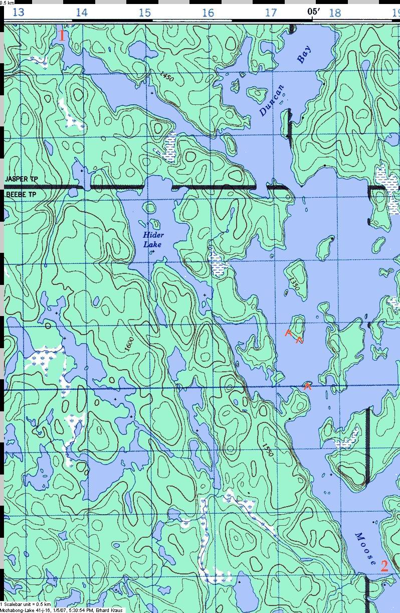
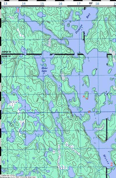
Mozhabong Lake:
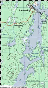
Biscotasing to Sinaminda Lake
|
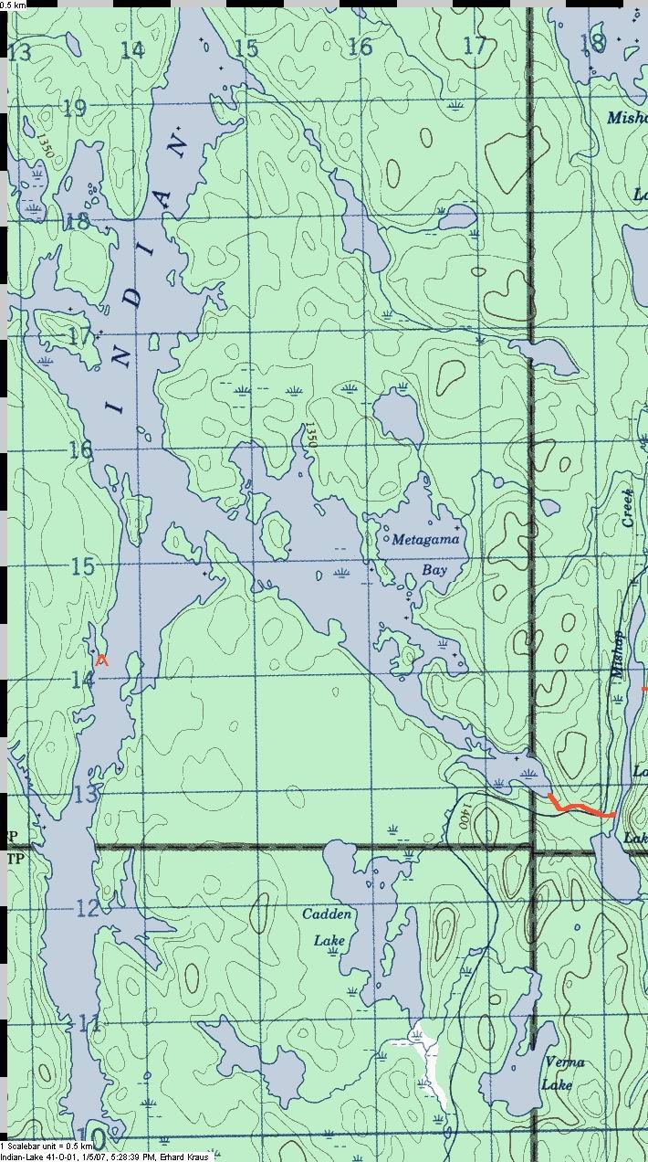
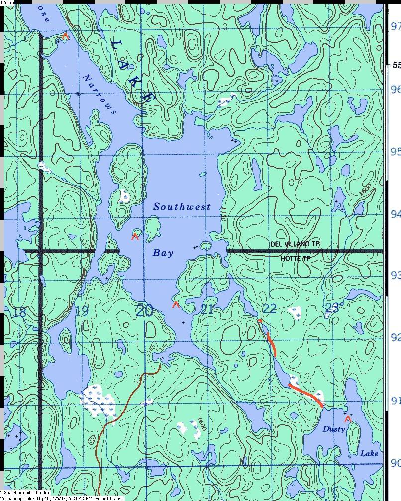
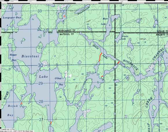
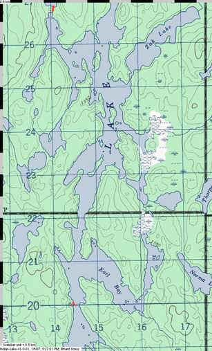
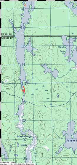
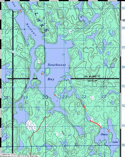
| Biscotasing is at the hub of several travel routes,
and when you study the map, the most obvious one is the way south following the large
expanses of several lakes: Biscotasi, Indian, and Mozhabong Lake. In the days before the
rail line, the folks working their way upstream the Spanish River would have come this way
rather than working against the many rapids on the West Branch further up the
Spanish. Today, this is a nice route with camps in the northern part and semi wilderness
in the south. Mozhabong Lake has become protected land since 1999 and is probably the
highlight of this trip. The large lakes make it wise to give yourself an extra day or two
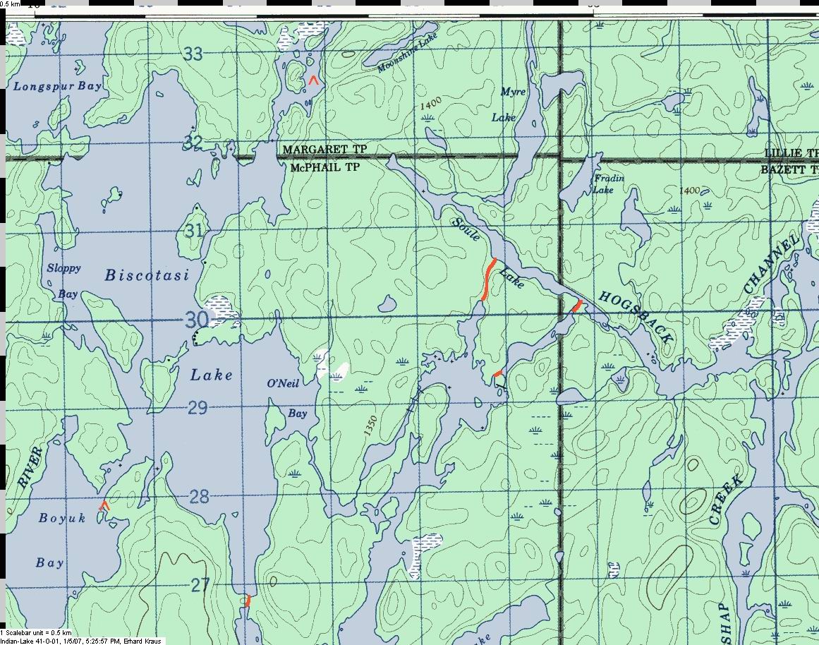
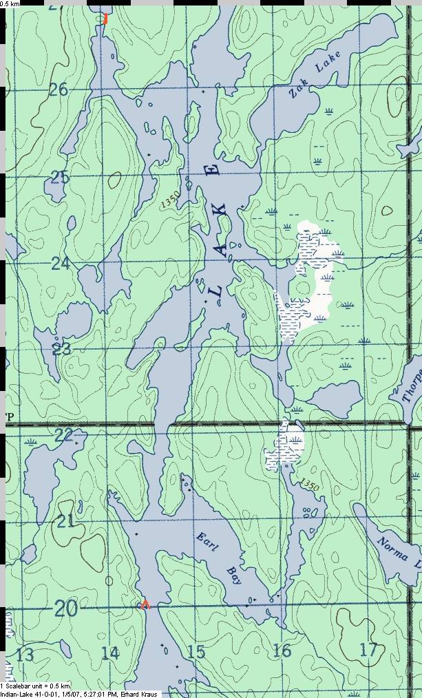
to allow waiting out a windy day. About the topo map
extracts on this page and their linked enlargements:
©Her Majesty the Queen in Right of Canada
Reproduced with the permission of Natural Resources Canada |
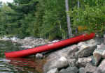
 Biscotasing can be reached by either car or train - but if you intend to continue the trip
by joining the Spanish River, the train allows you to reduce shuttle expenses. You launch
at the General store in Bisco and you should not miss poking your nose into the old store
with its many things that were, and for some still are, useful when spending time up
there: fishing lures and tackle, red checkered shirts, baseball caps, rubber boots, beer,
some food staples such as pastas and canned whatever, pop, batteries, ice, and so on.
Archie Baleney spent a few years in town and is not fondly remembered, but a few years
back the store owners grudgingly acknowledged his fame and put up a few photos of that
trouble maker. If you came by car, you pay for parking in the store, and in any case you
might want to have a last can of pop before you head out.
Biscotasing can be reached by either car or train - but if you intend to continue the trip
by joining the Spanish River, the train allows you to reduce shuttle expenses. You launch
at the General store in Bisco and you should not miss poking your nose into the old store
with its many things that were, and for some still are, useful when spending time up
there: fishing lures and tackle, red checkered shirts, baseball caps, rubber boots, beer,
some food staples such as pastas and canned whatever, pop, batteries, ice, and so on.
Archie Baleney spent a few years in town and is not fondly remembered, but a few years
back the store owners grudgingly acknowledged his fame and put up a few photos of that
trouble maker. If you came by car, you pay for parking in the store, and in any case you
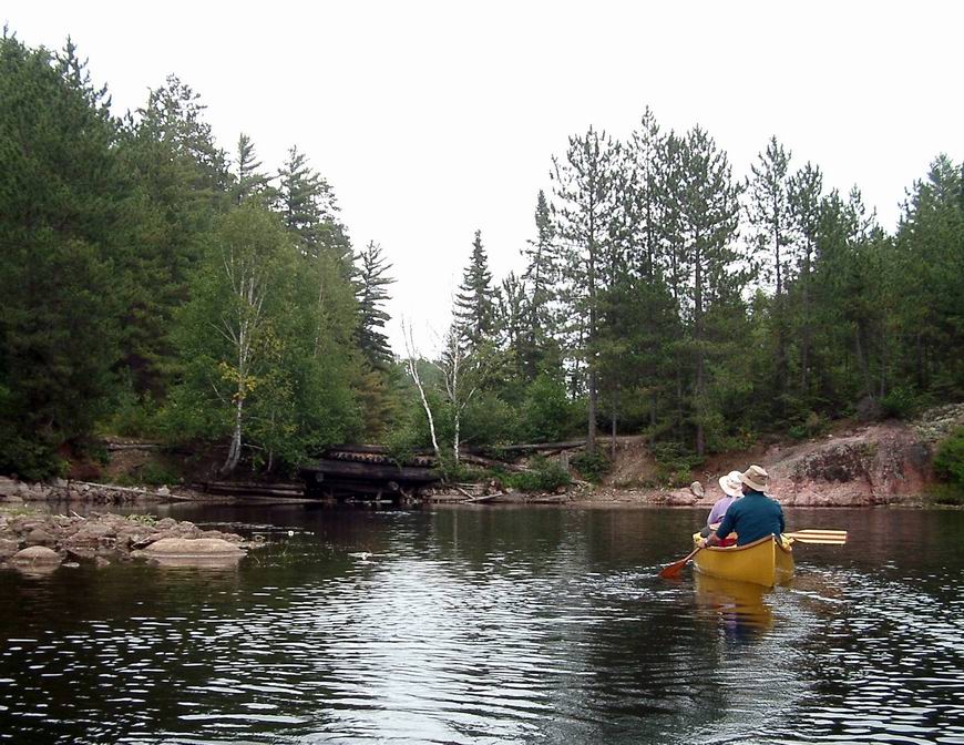
might want to have a last can of pop before you head out.Paddle out of the bay and head
SE along the railway dam and tracks until you see the gap that allows you to pass under.
If you were to stay for a while, you'd be amazed at the amount of train traffic that
passes through here. It's one of Canada's arteries that move goods across the country. You
can choose either the Straight or the Crooked Narrows as you continue on. The lake narrows
just a the bottom of the map and there are a number of islands....
|
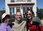 |
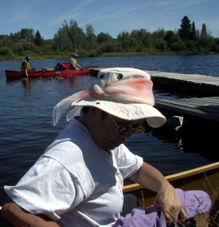
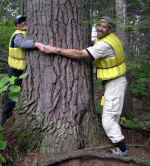
Peggy, Rene and Sabine at the Bisco General Store. |
|
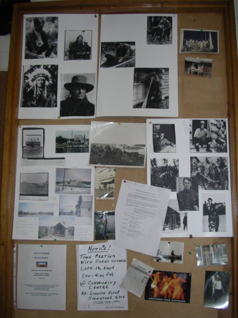
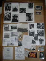
The picture board in the store, with memories of its most famous former
resident |
 |
| launching, a few steps away from the store and the railway stop |
 |
|
|
|

|
 ....where
you could camp. But it seems a popular spot and is easy access to powerboaters and the
closeness of the road gave me no desire to check it out - fearing it would be trashed like
so many camps sites in similar situations. There may be other camps sites on this lake but
I know of only one: in the southern part of the lake, at the top of Boyuk Bay. I once
camped there and it was OK except for a large pile of food leftovers that had been dumped
at its edge. We moved it way back in the bush before I felt comfortable to stay the night. ....where
you could camp. But it seems a popular spot and is easy access to powerboaters and the
closeness of the road gave me no desire to check it out - fearing it would be trashed like
so many camps sites in similar situations. There may be other camps sites on this lake but
I know of only one: in the southern part of the lake, at the top of Boyuk Bay. I once
camped there and it was OK except for a large pile of food leftovers that had been dumped
at its edge. We moved it way back in the bush before I felt comfortable to stay the night.
You leave Bisco Lake via the short portage at the south end, near where
the number "27" is on the map. There, someone installed a rail and cart where
one can move heavy boats across - hardly an improvement for us light travelers but it
helps motor boaters get across. As a curio, this portage was formally named "Prince
of Wales Portage" in anticipation of a visit by said royalty in 1939. But the start
of World War II intervened and the prince never had a chance to tump his packs across the
trail.... (source - Andy Thompson, personal communication),
The river that enters the lake at O'Neil Bay might be
tempting if you find the time to explore, but as a way into the next Lake, it would be a
lot more work than the easy portage just described. Also, near the centre of the
map, I have drawn two portages into the Hogsback Channel.They are a way out of Indian Lake
and would allow you to travel north towards Biscotasing as well, and I have described that
way as part of the Alton Lake route. I walked the western
trail myself, but have not been able to locate the shorter way on the east with the pond
in between - others have and say they found it with no problem. Go figure... |
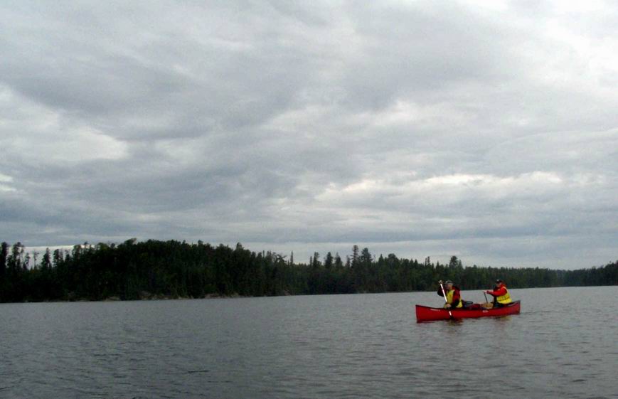
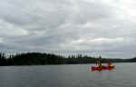
 |
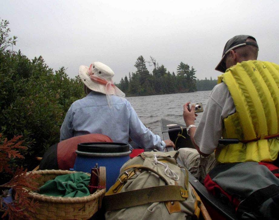
On the way down Biscotasi Lake. |
|
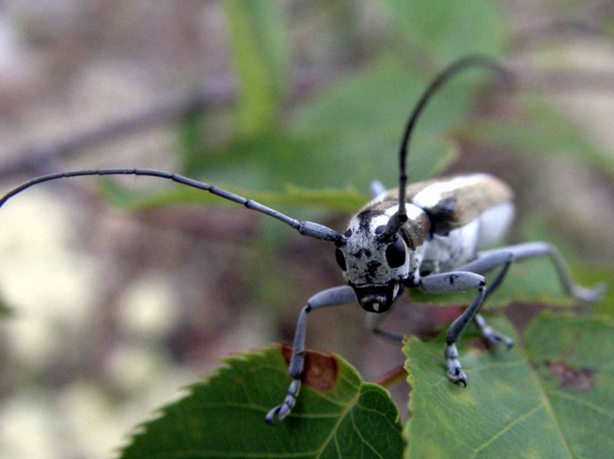
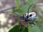
Close-up of a beetle |
 |
|
 After
taking the portage from Biscotasi Lake, you are in Indian Lake - it's huge with many bays.
There are camp sites on some islands in the north end, but we just checked one, didn't
like it and we camped further south instead. A strong wind could delay you on this lake. After
taking the portage from Biscotasi Lake, you are in Indian Lake - it's huge with many bays.
There are camp sites on some islands in the north end, but we just checked one, didn't
like it and we camped further south instead. A strong wind could delay you on this lake.Some
further exploration could be done from this lake. In the east
* Earl Bay in the east is supposed to have a portage into Norma Lake and thus give access
to the Mishap Lake and thus the Alton Lake Route
* the same route can be accessed further south from the long depth at Metagama Bay (next
map) |
|
 |
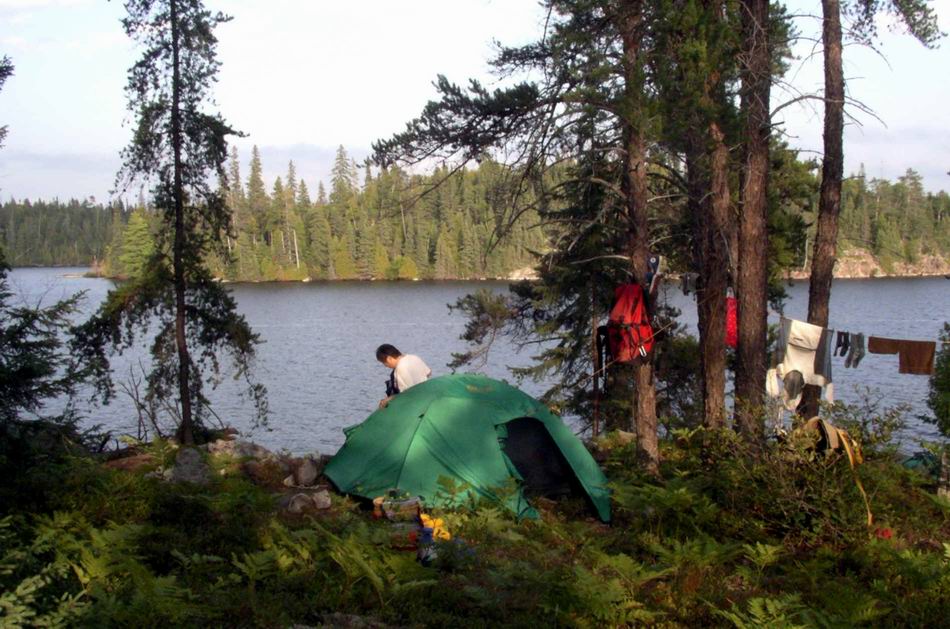
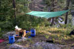
Camp site on the western shore of Indian Lake |
The kitchen tarp... |
 |
|
|
...and the wannigan. |
 |
|
 |
|
 Paddle
as far as you can. Paddle
as far as you can. On the west side
* Earl Lake should give you a portage into Ramsey Lake, but I haven't tried it.
* Tasker Bay could be explored to see whether Tasker Creek is paddlable now again (a
few years back, the beaver dams were neglected and thus the creek was not navigable) to
work your way into Tasker Lake and along a route that gets you to the Wakonassin River via
Ira Lake and Labitiche Lake.
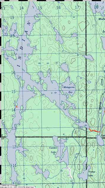
That long deep bay in the south-east (near the label Metagama Bay) has an eagle's nest
on the horse shoe shaped island. The portage into Lamprey Lake is easy to follow until you
come to the logging road. One way to get to Lamprey would be to skirt the impenetrable
ditch along the road by walking left and coming back on the road to follow the
continuation of the original boggy trail. It will lead you to the southern end of Lamprey
but the shore is swampy and you best walk along the forest edge until a point where an old
wooden motorboat is rotting into the ground and launching a boat is possible.
I am told that a better way is to stay on the road and walk a few hundred feet north
and then clamber down to Lamprey. |
 As you
continue south on Indian, you come to a dam. A short portage is on the west side, but if
the water is low you may want to use the longer trail on the east side that leads
from the cached boats to the dam. For the biologist in you: the launching place above the
dam with its grass and reeds is a great site to sample all kinds of biting insects..... As you
continue south on Indian, you come to a dam. A short portage is on the west side, but if
the water is low you may want to use the longer trail on the east side that leads
from the cached boats to the dam. For the biologist in you: the launching place above the
dam with its grass and reeds is a great site to sample all kinds of biting insects.....Back
on the water and proceeding south, you pass under the logging road (it's gated and thus
not suitable to get your car closer) and then you follow a long stretch of wetlands -
plenty deep for paddling but with the a good chance to see ducks and other wildlife. You
re already in Mozhabong Lake by now.
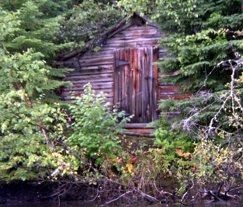
Approaching the southern end of Indian Lake we pass an
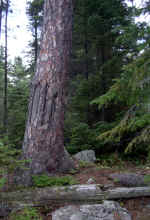
old trappers cabin on the west shore. |
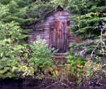 Grey Owl had some friends on
this lake, the Espaniels and this cabin might have been theirs |
|
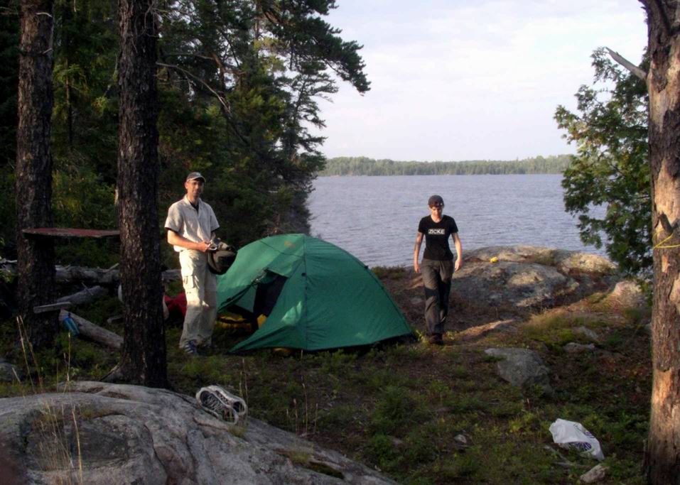
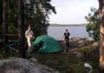
| On Indian Lake |
 |
|
|
. |
|
|
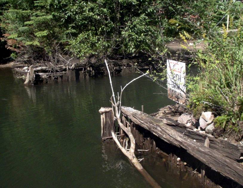
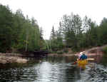
Upstream from the modern dam are the remnants.. |
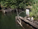 |
...of an older structure, a remnant of the logging days. |
|
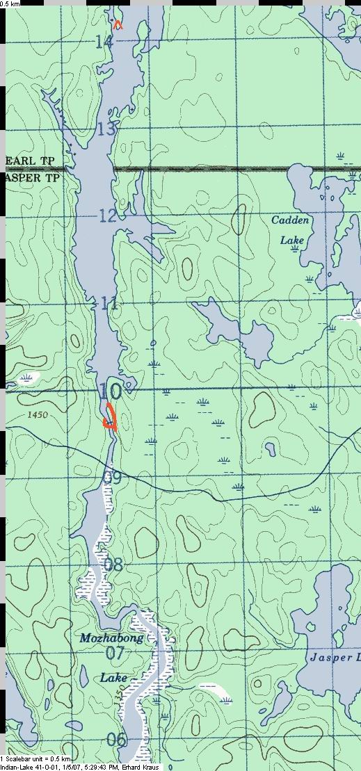
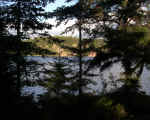
 Mozhabong
Lake is another big lake where wind could give you problems. The narrow bay (where I put
he "1" on the map) at the top leads to the upper half with its islands and some
campsites like those indicated on the map. Look for bald eagles soaring above the lake or
are roosting on tall pines near the shore. Mozhabong
Lake is another big lake where wind could give you problems. The narrow bay (where I put
he "1" on the map) at the top leads to the upper half with its islands and some
campsites like those indicated on the map. Look for bald eagles soaring above the lake or
are roosting on tall pines near the shore. A huge lowdown occurred maybe ten years ago
and as you paddle towards the Moose Narrows, you can see its swath on the western shore
and how it continued across the lake to devastate the eastern shore as well.
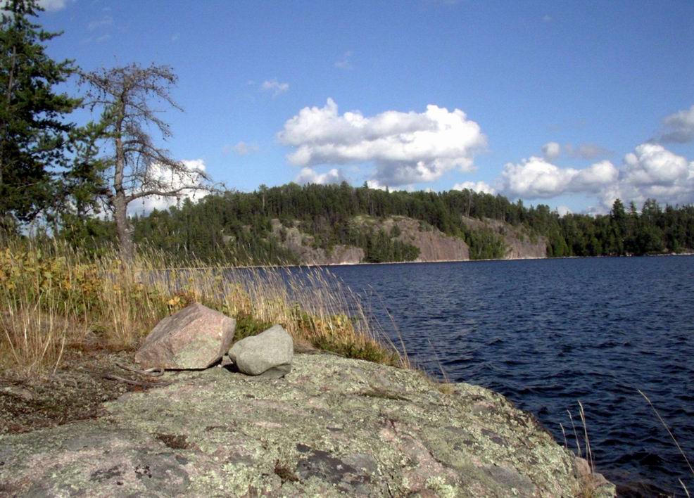
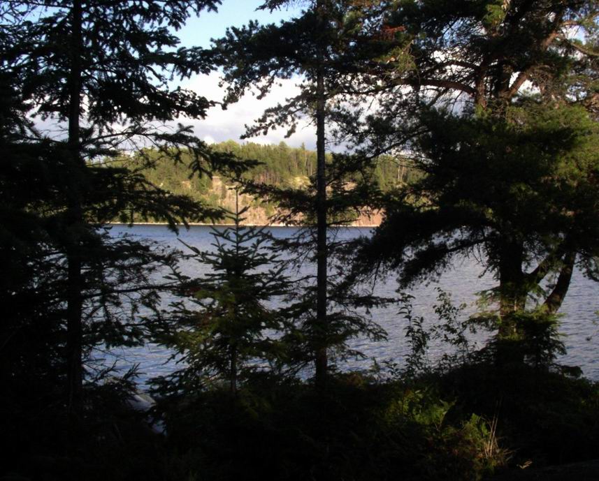
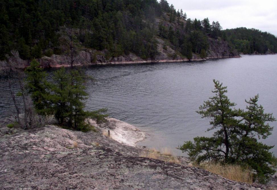
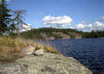
At Moose Narrows, a spectacular rock outcrop juts into the channel of the lake. (Bottom
right corner of map, below the number "2")
 |
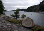
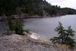
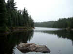
Mozhabong Lake, from a camp site. |
|
|
|
|
|
|
 |
|
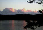
Evening scenery |
 |
|
|
 |
|
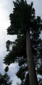
Majestic old pine |
 |
 |
at the Moose Narrows |
 |
|
|
|
 The
Narrows make a good lunch spot but camping up on the slope would be a disappointment -
there is trash and "furniture" from previous campers rotting into the ground.
Better move on and camp further south on one of the nice spots. There is road access to
the south end of the lake and occasionally fourwheel drive vehicles have make it to the
landing. Don't count on getting through by vehicle. The
Narrows make a good lunch spot but camping up on the slope would be a disappointment -
there is trash and "furniture" from previous campers rotting into the ground.
Better move on and camp further south on one of the nice spots. There is road access to
the south end of the lake and occasionally fourwheel drive vehicles have make it to the
landing. Don't count on getting through by vehicle.To leave from Mozhabong, you follow
the convoluted but deep bay on the south and east as indicated on the map. A creek with a
trickle of water guides you upstream and you will lift the boat over some rocks before you
cross to approach the first portage. If the water is low, you need to get out and slog
through a bit of muck which thankfully is not bottomless. The 400m portage runs well above
the bull rush choked creek on the rocky east shore, and you need to be careful not to lose
the trail which at some point seems to lead everyone down off the rocks too early.
Then you cross a small unnamed lake maybe 1km across and need to take out on the
floating peat as the map indicates. If you cannot see the sticks rammed into the ground to
mark the spot, go out and look for trails across the spongy mass leading in the right
direction. Don't be scared, the footing is good enough, just avoid mud holes that moose
may have created with their heavy weight on long legs. That 700m portage reaches drier
ground about half way across and is actually not bad if you keep your nerves - an
additional challenge of a generous dose of deer flies in mid summer could make you moan
like the MacGuffins did when they crossed here half a dozen years ago. The portage ends on
Dusty Lake. I recall a larger but trashy camp site (maybe winter traffic?) on the large
island, but I did not record the location and thus only want to point at the marginal site
of the small island to the north of it. Canoeist keep the sites clean, right?!
| Between Mozhabong and the pond. |
 |
|
Approaching the 400m portage to the unnamed Lake before the long portage
to Dusty... |
(All photos in this block by Rene) |
 |
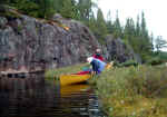
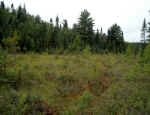
Detail of the muskeg, with pitcher plant |
|
...and wading through knee-deep "loonshit". |
 |
|
After finishing the portage, launch again in the unnamed lake |
 |
|
|
 |
|
|
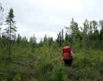 |
On the 700m portage into Dusty Lake |
|
|
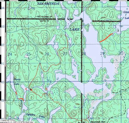
At
its southern end, a narrow channel leaves Dusty lake and you may be able to float the boat
through it, then cross the narrow pond and portage again on the firm path that parallels
the rivulet leading towards Landry Lake.
There, turn north and follow the water. Where the old road crosses, the supporting logs
have sagged and you have to wrest the boat across the road on the south side and relaunch
on the other side. Within one 1km, you pass a hunt camp on the south shore and realize you
can camp just across from it on good level ground underneath a stand of jack pines.
As you continue up Sinaminda Lake, pay attention to the map since the lake has flooded
many low areas during its creation and thus could be confusing. |
|
|
|
 |
Approaching the old road. One needs to lift the boat across as the bridge
has collapsed. (photo by Rene) |
|
|
|
|
|
The next morning, at the camp site opposite the hunt camp. The canoe lies
near the water, the tents would be to the left. |
 |
|
| Today, the landing is a hundred feet further up the shore, at a spot that
is better suited as a motor boat landing |
 |
|
On Sinaminda Lake, the blazes mark the old start of the portage to Gilden. |
 |
|
|
|
The portage into Gilden is about half way up the visible body of Sinaminda on the east
shore and will eventually take you to Pogamasing Lake and thus
the Spanish River near Sheahan. Or you could return via a back
route through Alton Lake - it's a bit rough in spots but the bodies of water are
smaller and thus you do not need to be concerned as much about windy conditions. Last not
least, the creek leading out of Sinaminda Lake flows south to join the Spanish River below
the Grave Yard Rapids and is marked on some maps as the Agnes River. I have once tried to
work my way up from there but got stymied by the many round stones that make walking in
the creek a challenge - I cracked an ankle in the attempt and you can read about it at he
bottom of this description of
Spanish River Creeks. So, upstream would not be advisable, but going with the flow
might be a lot of fun, especially in spring conditions. |
|
Home Back to
Erhard's Home Page
Click here to get to Erhard's
Favorite Paddling Areas
|