Logo.jpg (10236 bytes)

Ontario's Canoe Country

Rushbrook/Shakwa Protected Area


img_2106.jpg (33325 bytes)


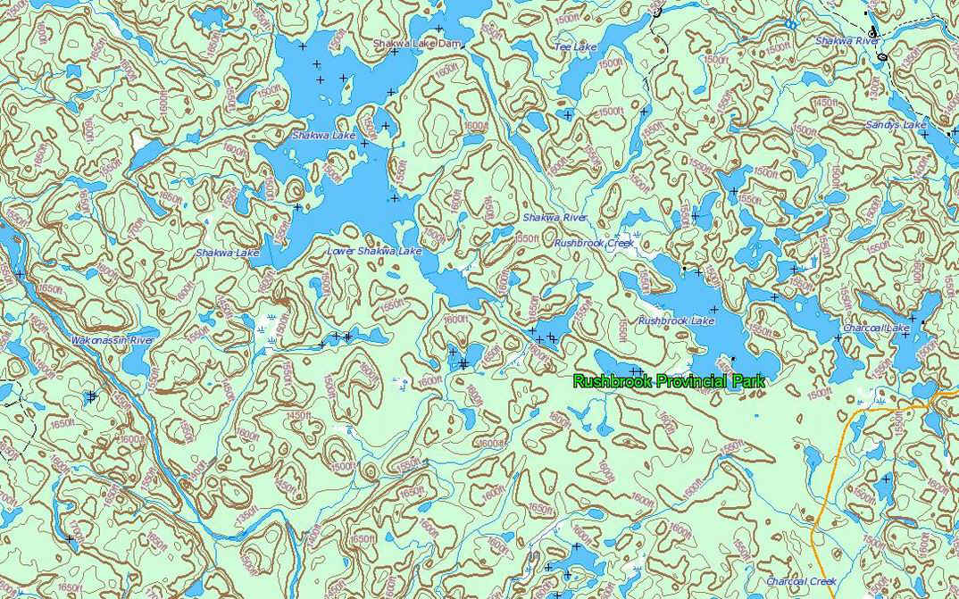
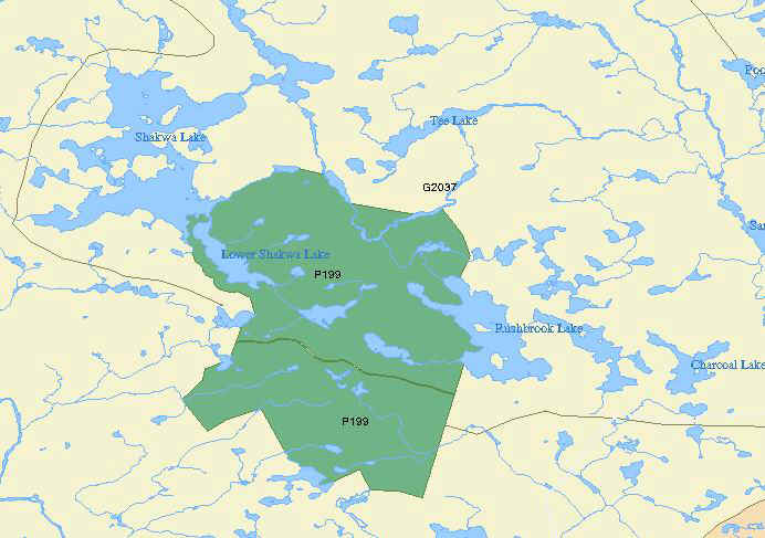
About 100km west of Sudbury and then maybe 80km north of Massey on gravel roads, there 
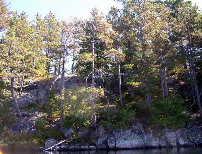
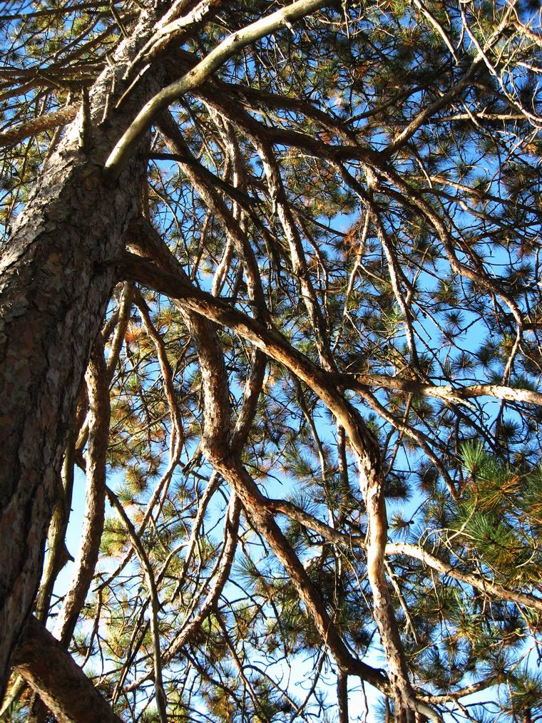
is a small area, set aside in 1999 as part of Ontario's Living Legacy project. Old-growth red and white pine prevails on the bedrock, while jack pine is found in large number on the ancient glacial deposits of gravel.  Anishnabe names such as Mozhabong, Sinaminde, Missisagi, and Wakonassin attest to the Native history of the area.  

Before railway, float plane, road and ATV, people traveled by canoe, and you may be familiar with one of Grey Owl's books, Men of the Last Frontier, that reflects the experiences that the author had in that general area.

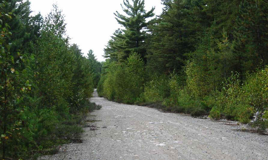
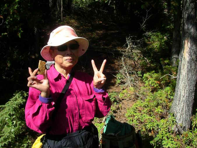
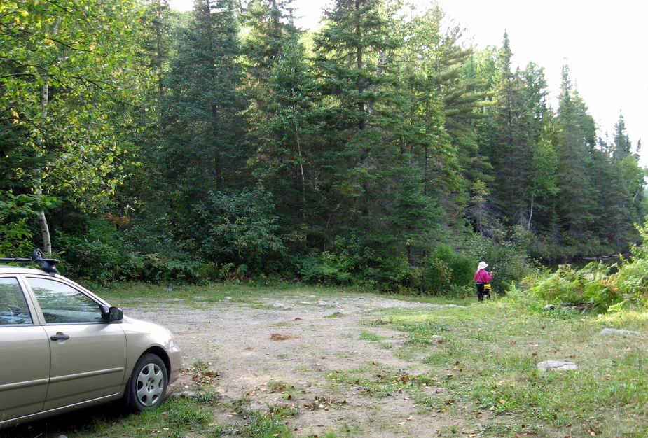
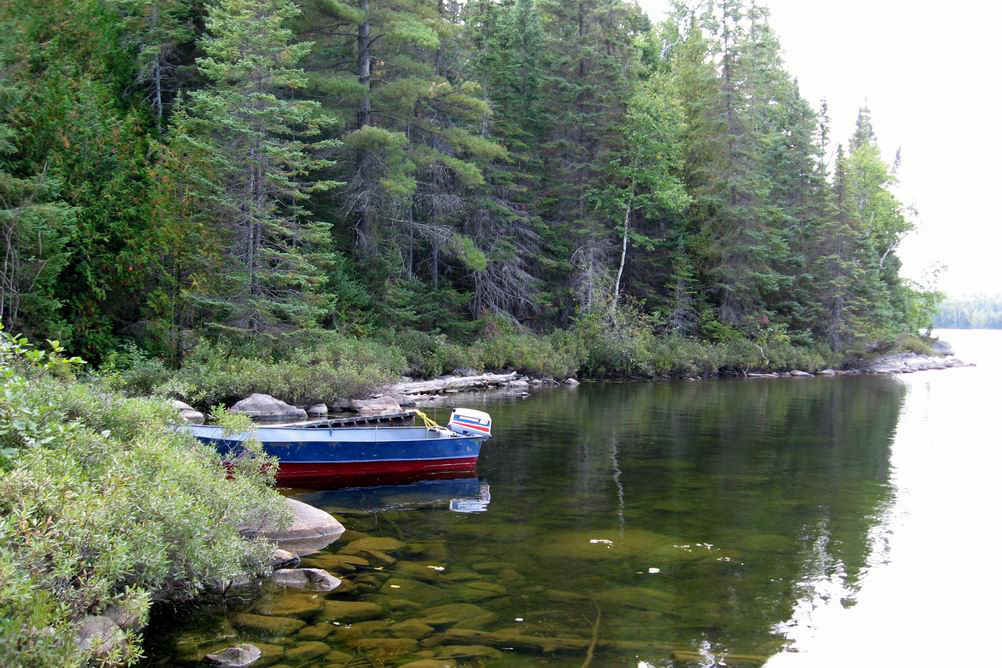
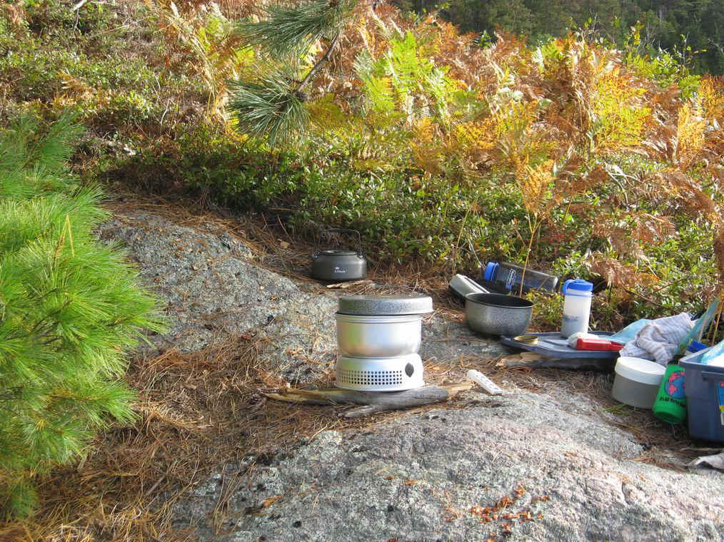
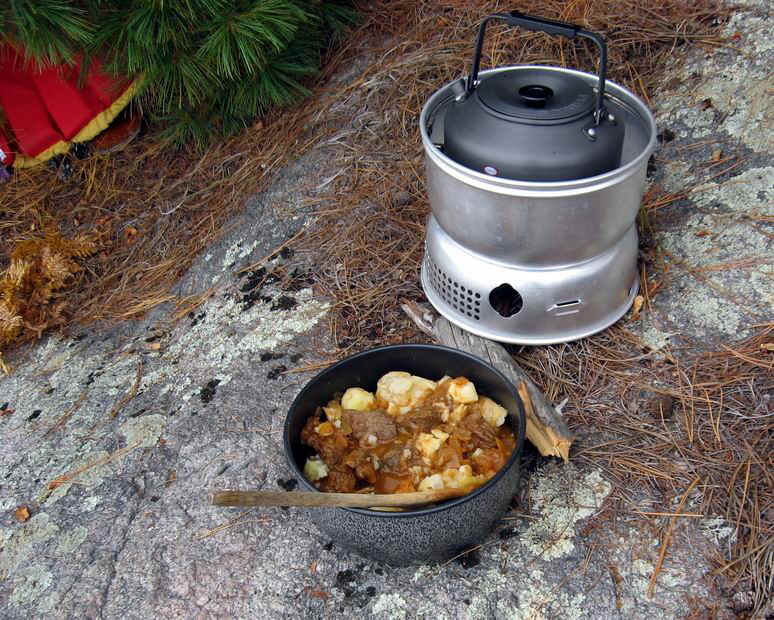
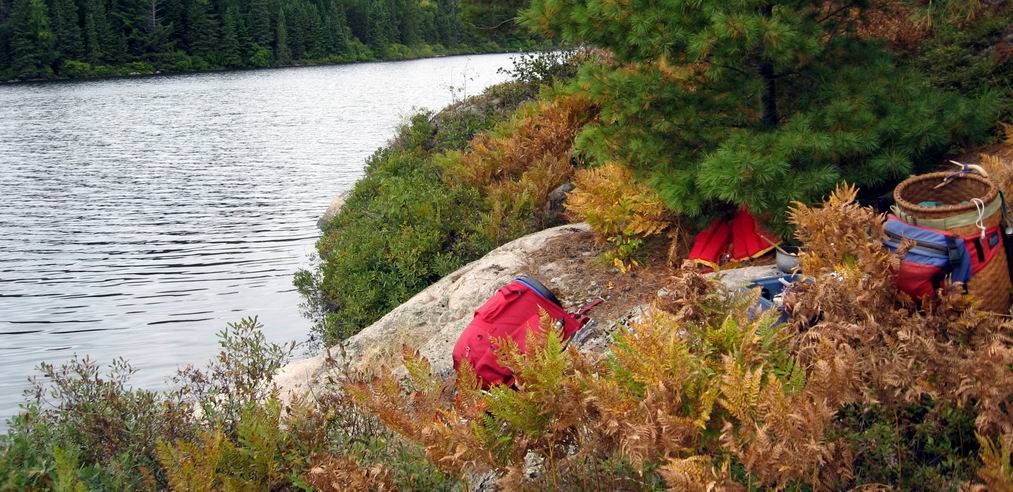
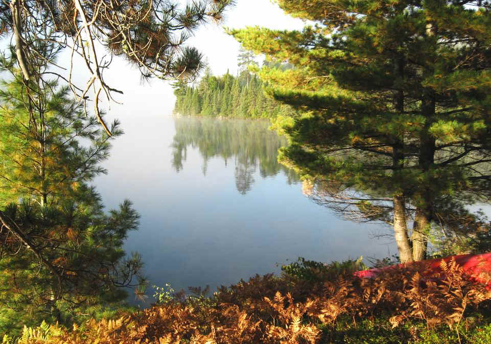
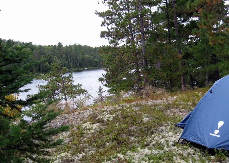
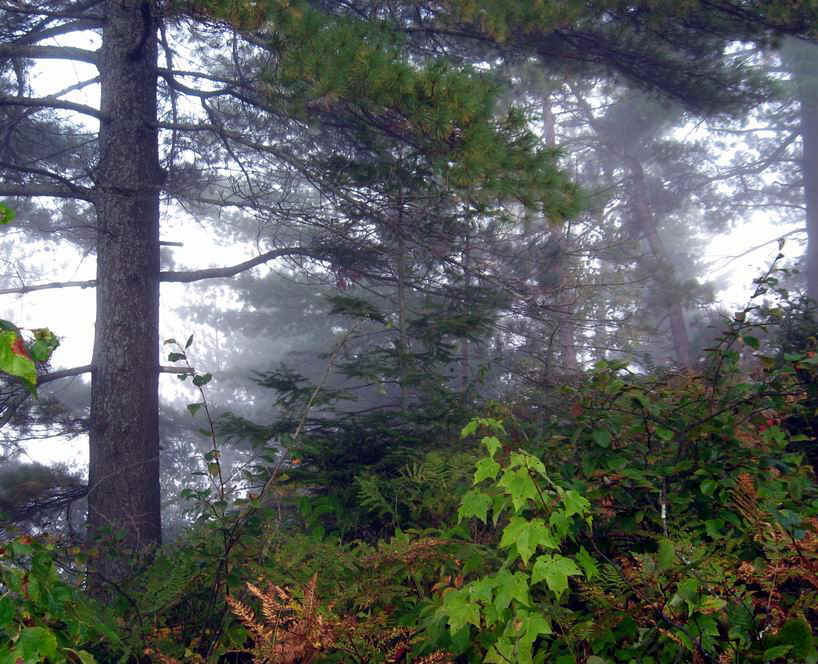
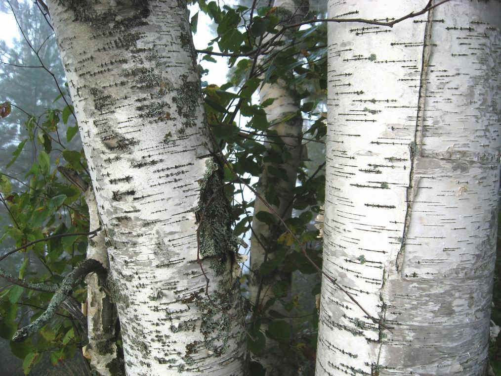
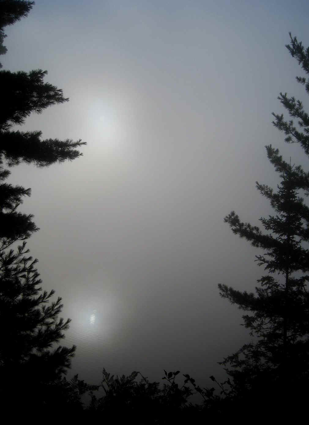
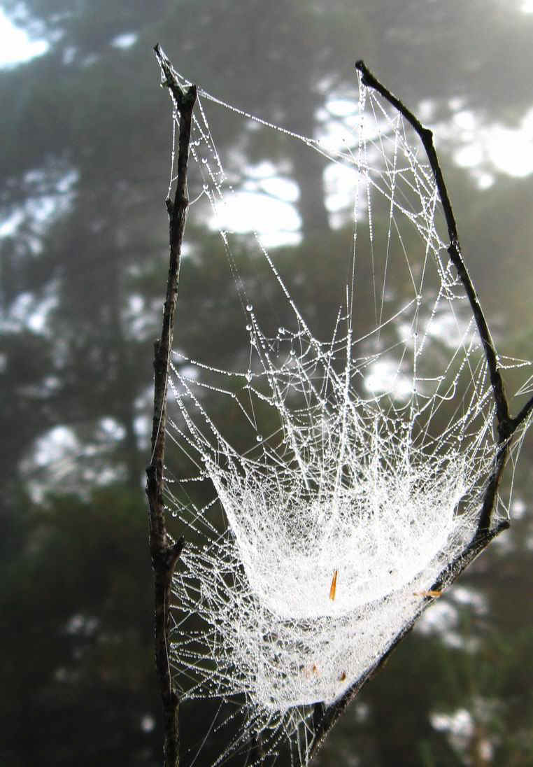
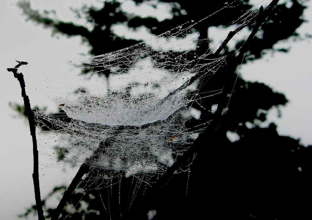
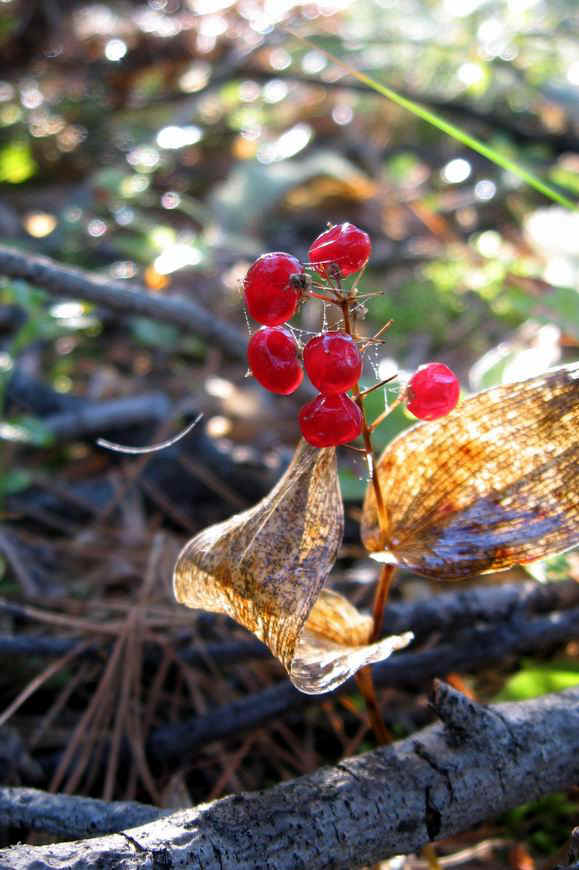
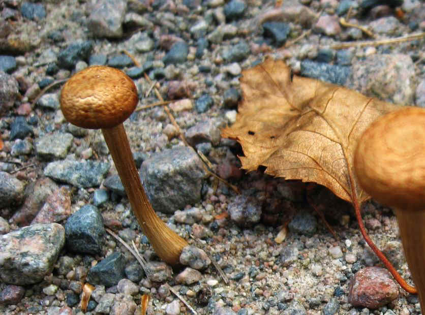
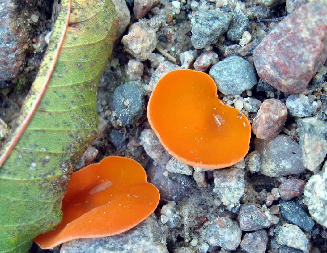
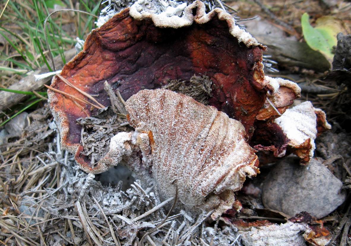
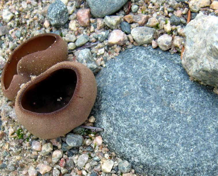
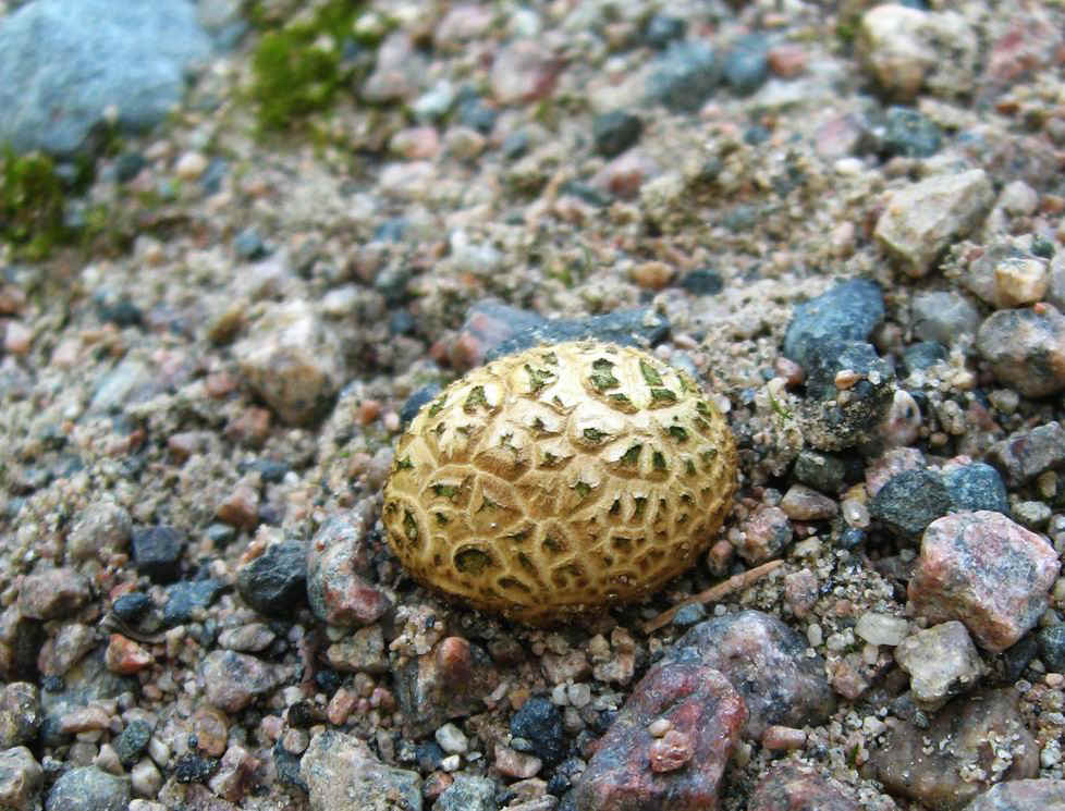
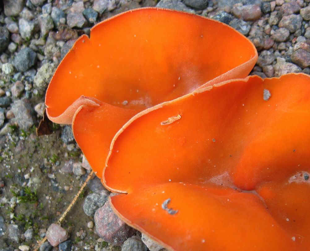
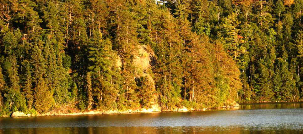
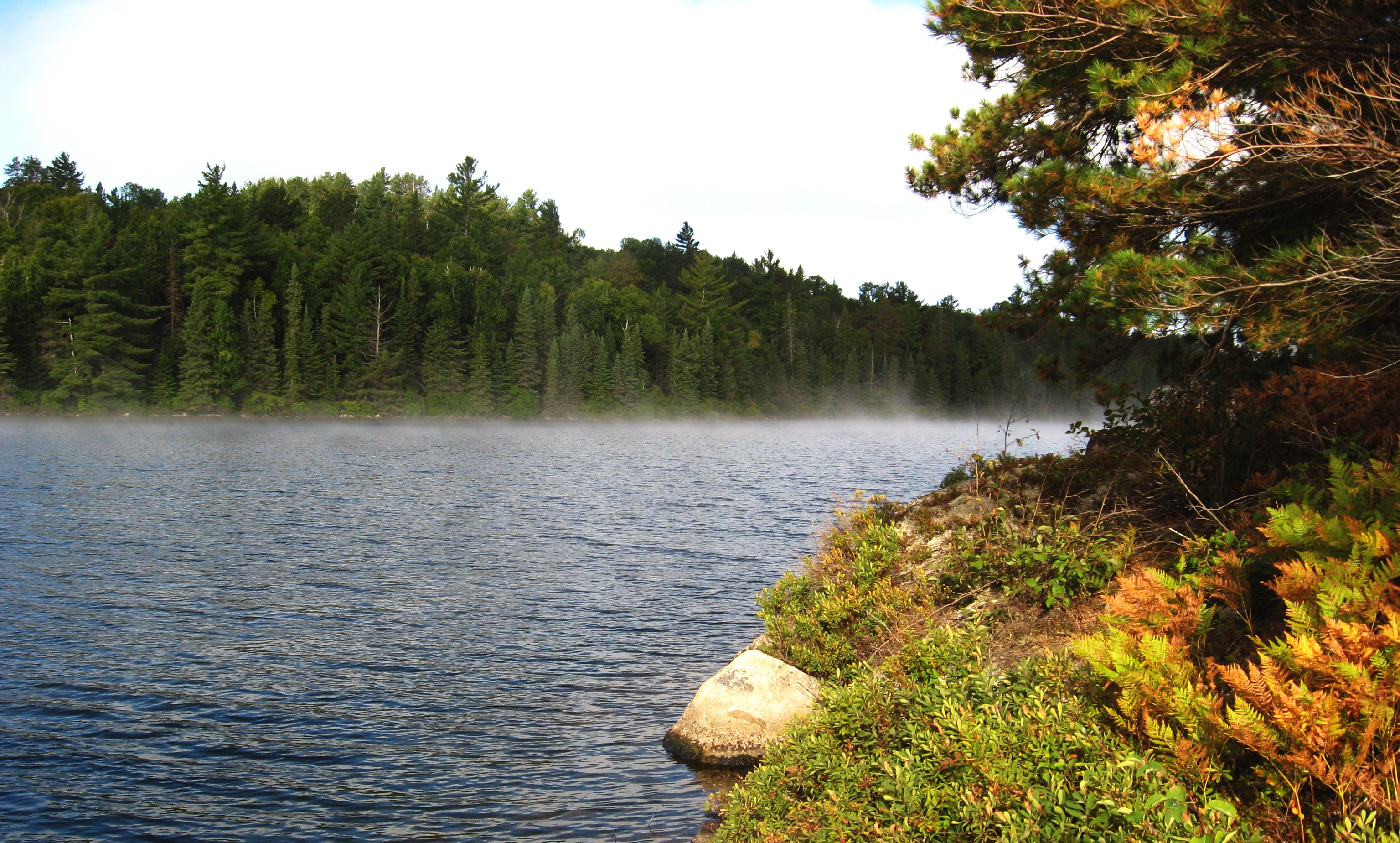
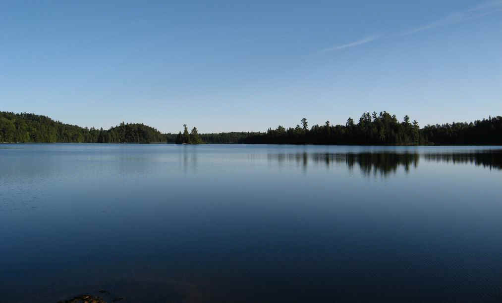
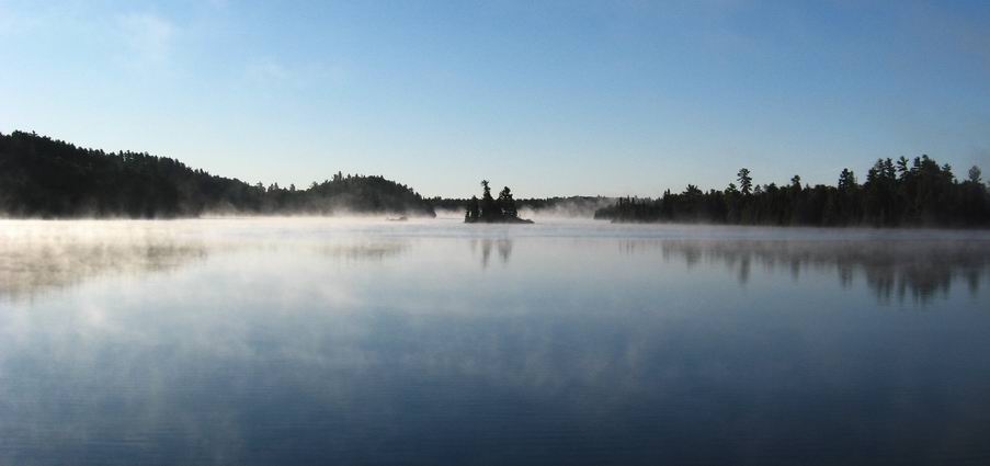
Today, it is still canoeing country, with a number of parks and Conservation Reserves that allow nature to keep its ways. The pictures below are from the Rushbrook Provincial Park, taken during a visit in September 2009.


So, let's visit Rushbrook Lake. with its rocky hills, gravelly low areas..., ....and its crystal clear waters.
img_2161.jpg (121680 bytes) After driving over about 80km of gravel roads, finally we are here. imgp0047.jpg (101489 bytes)
img_2166.jpg (173452 bytes) The landing can be driven to by car - there's no need for any gas-guzzling monster wheels.... A few cabins on the lake seem to be used only off and on, and we had the lake all for ourselves img_2169.jpg (173611 bytes)
img_2069.jpg (288669 bytes) img_2057.jpg (168025 bytes) We lucked out and pitched the tent high up for a good view. img_2060.jpg (155850 bytes) Cooking was done near the water's edge. If the wind had been from the south, we'd have to move up the slope into the trees.
img_2116.jpg (107637 bytes) Camp sites are an issue as the shores are either sloped or full of bolders. imgp0045.jpg (125293 bytes) img_2063.jpg (129647 bytes)
img_2103.jpg (150236 bytes) A misty morning has its rewards for the early riser. img_2102.jpg (200036 bytes) Two suns? What a planet! img_2087.jpg (99184 bytes)
img_2090.jpg (144265 bytes) Spiders at work img_2089.jpg (131589 bytes)
img_2116.jpg (186558 bytes) During the day, a paddle or a walk to pass the time and connect with the land. img_2122.jpg (95527 bytes) Canada Mayflower on the left.... img_2155.jpg (125112 bytes)
img_2144.jpg (200499 bytes) img_2164.jpg (255622 bytes)
img_2137.jpg (140277 bytes) ... and a succession of mushrooms on the gravel road that runs NW towards Shakwa. img_2126.jpg (169674 bytes) img_2149.jpg (116484 bytes)
img_2115.jpg (323940 bytes) img_2076.jpg (155881 bytes) img_2068.jpg (4323928 bytes)
Four days on the lake, in mid-September, with clear skies and the colours starting on the slopes - not a bad way to celebrate fall.... img_2072.jpg (43757 bytes)
How to get there:
    drive north from Webbwood about 60km and turn east at the Charcoal Creek Road. At KM20, turn left and follow the level forest road for not quite 2km to the second "driveway" on the right and take it 500m down to Rushbrook Lake.
topo map:

rushbrook- topo.jpg (294791 bytes)

park boundary:

rushbrook- CLUA.jpg (58623 bytes)


Home   Back to Erhard's Home Page

Click here to get to Erhard's Favorite Paddling Areas