Kanu Links
![]()
The Best of the Mattawa
and a Bit of the Ottawa - 2011
Imagine, without paying a cent at a tourist booth, that you are stepping on the very stones that Champlain, Brule, the early Jesuits and all other major historical figures of Canada, and later, MacKenzie and Thompson, had stepped on hundreds of years ago!
The Ottawa River and Mattawa form Canada's historical gate when you came from the east, and it is historically as significant as the old Roman roads in Europe, the ancient Nile River route that made Egypt prosper from the treasures that came out of Africa, or the Incan roads of South America that held their empire together. Only the arrival of the railroad in the 18th century displaced the need to use this gateway, and plane and automobile eventually made us forget the significance of that area. Until that time, if you came into Canada, you probably started in Montreal and worked your way up the Ottawa River until you came to a smaller side branch - the Mattawa - where you turned left to travel towards Lake Huron and then further inland.
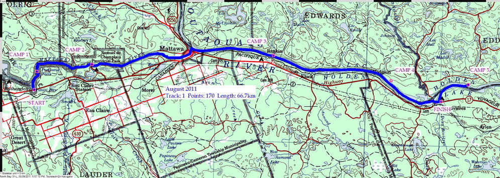
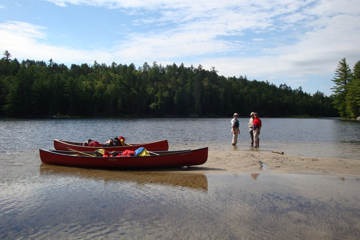
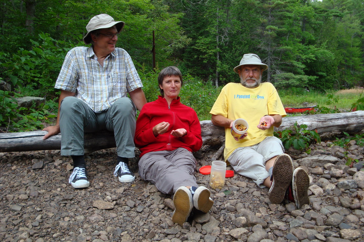
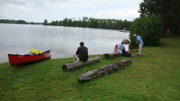
Today, the Mattawa is well-known fun trip to the locals North Bay and other nearby towns and its easy rapids and intact wild nature make it a choice destination even from further away. But the Ottawa has been dammed and instead of a river with steady current it has been turned into a sequence of large lakes. Even so, its undeveloped shore on the Quebec side makes paddling there a wonderful nature experience. So, in August 2011, four of us did just that: Dorothee, Herbert, Peggy and myself.
We started at Pimisi Bay, half way between North Bay and the town of
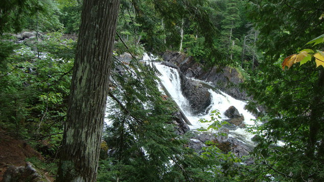
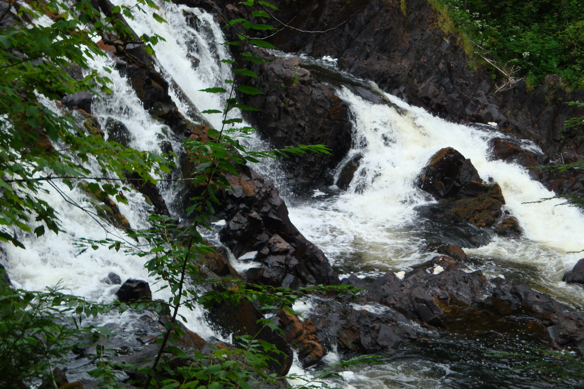
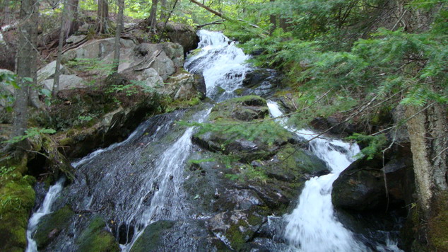
Mattawa, and thus were within a few hours' reach of the Mattawa's highlights: two
beautiful water falls (Talon and Paresseux) and the Porte d'Enfer, an ancient Native ochre
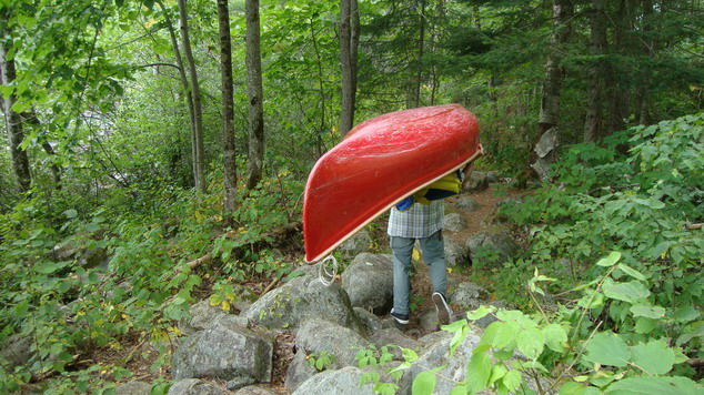
mine. We then proceeded down the river past the benign riffles of the Epingles and carried
across the Portage des Roches, careful not to trip, just like the ancient canoe crews with
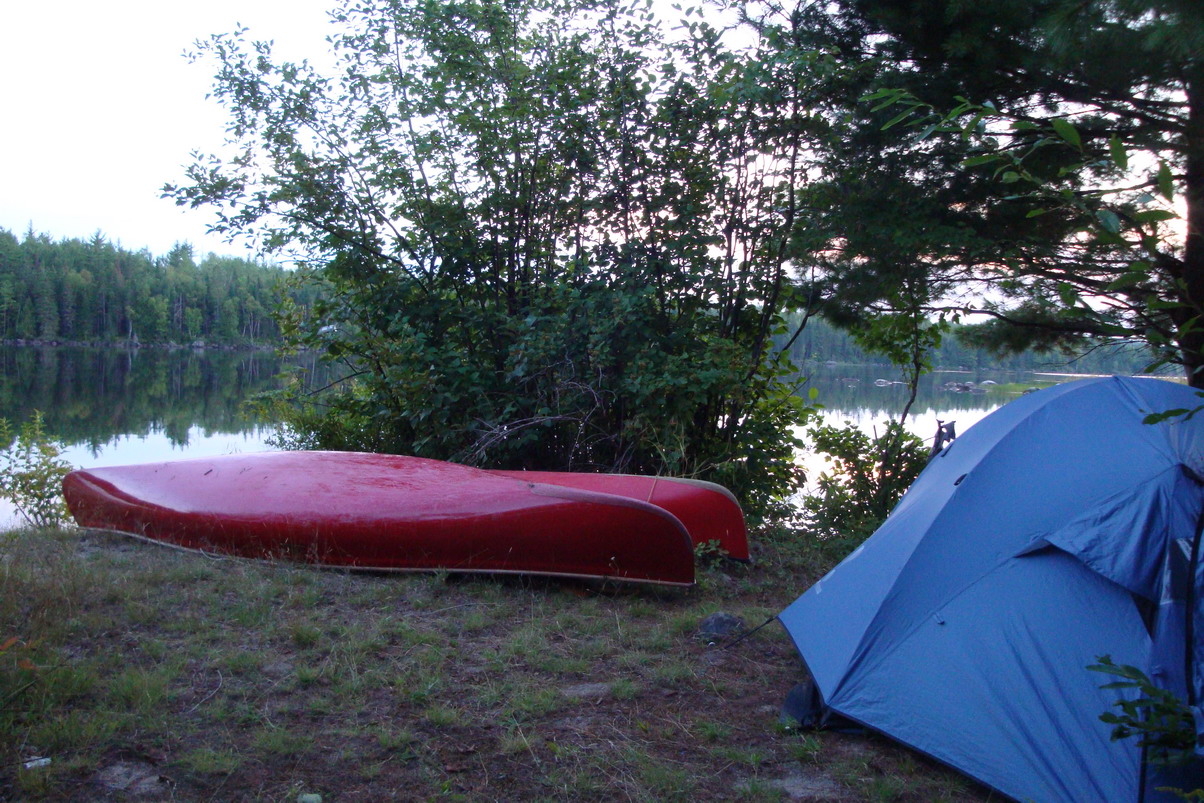
their huge loads had done for centuries. We made camp for a few days upstream of the
Campion Rapids (taking advantage of the road access to the river in order to attend a
wedding in Ottawa) and then two of our group stayed put while the others attended the
wedding.
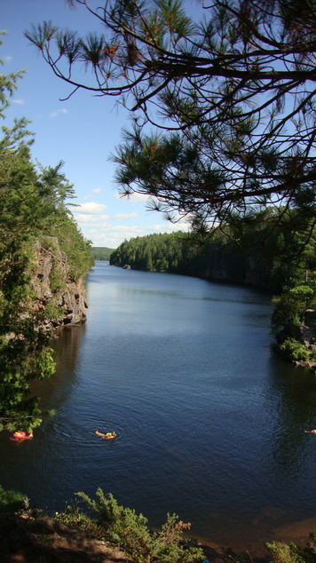
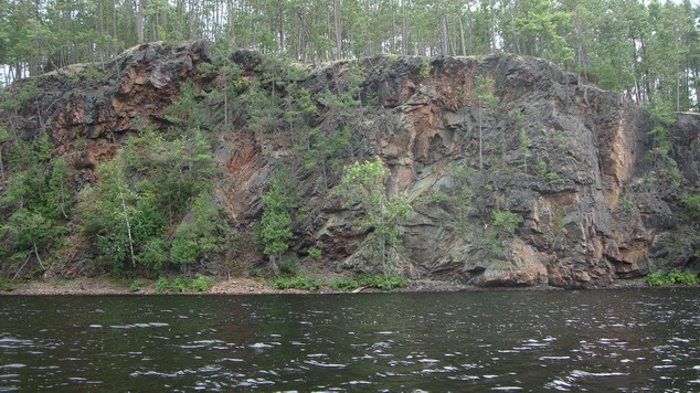
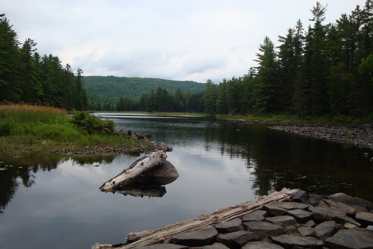
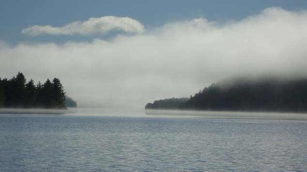
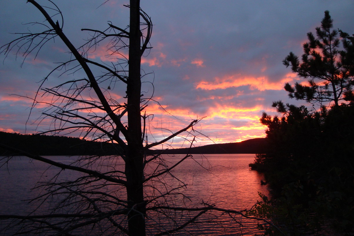
The Mattawa in this section shows its origin in a major geological
fault: the mountains have split apart and deep waters lie between high cliffs. The river
is small, and often widens into lakes with dense forests on the sides - but it has a
steady flow and is passable throughout the paddling season. Spectacular waterfalls need to
be bypassed via the ancient portages (this route has been in use by Canada's First Nations
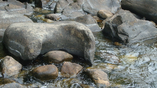
for hundreds and probably thousands of years) and the handful of rapids may be paddled at
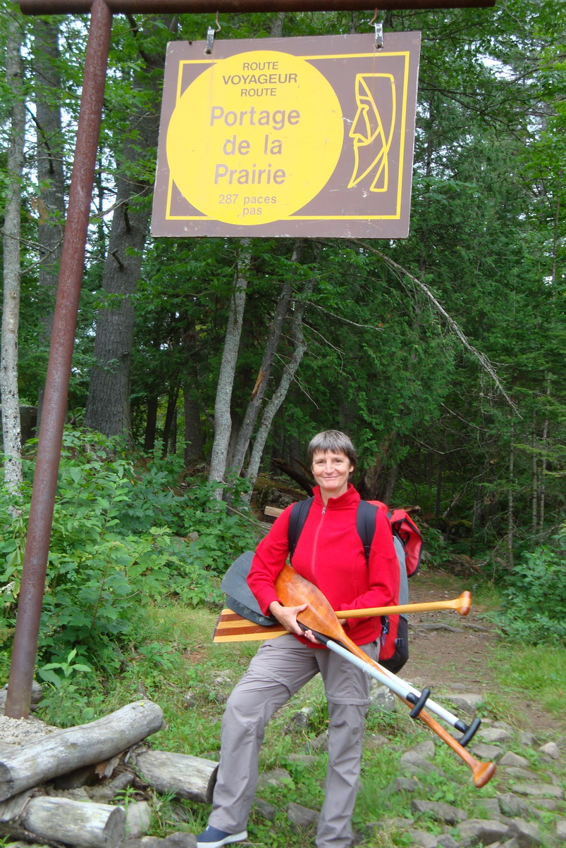
high water or the boats may be lined and walked down the rock-strewn shallows. Some of the camps sites are noted as traditional stopping places of the voyageurs (at the Portage de la Prairie, CAMP 1 on the map above,and at Elm Point - maybe even at the place above Campion Rapids, CAMP 2). No, we did not walk up towards the nice museum of Champlain Park - it's a long walk from the water and we had expected that our visitors would go there there while we had left them during our Ottawa absence. They were happy to explore via canoe, one day moving upstream and the next down from the Campion Rapids.
The shore in Mattawa village offered a picnic table (but no washrooms) for our lunch stop, and before we proceeded, we were warned by locals that the upcoming railway bridge over the Ottawa River just below the forks has powerful eddy currents when the water is high - for us it was a pretty harmless stretch since the river was at summer water levels. It became a long day's paddle until we discovered
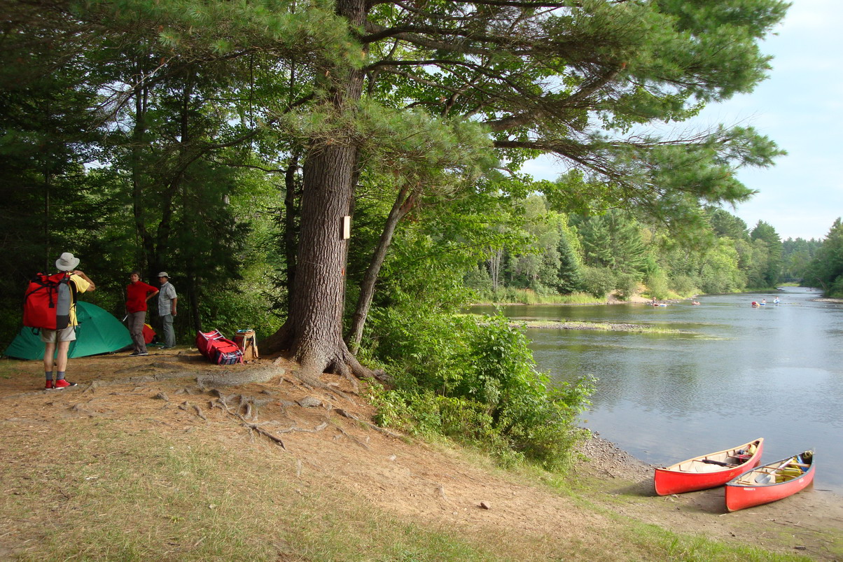
generous camping at the mouth of the Edwards River (CAMP 3). Just like at Elm Point on the
Mattawa, the river has pushed out a large level area that probably was used by groups of
voyageurs, but we found that previous visitors had made "improvements" that we
didn't appreciate and thus we stayed on the smaller area located a hundred feet upstream
from the major camp area. It was a nice site, big enough for two tents, and with the added
benefit of a clear rushing brook that runs 50ft behind the tents.
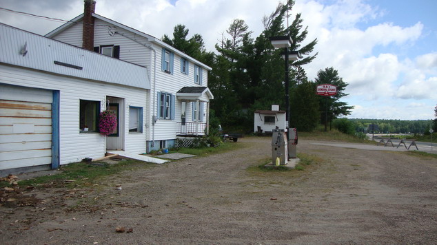
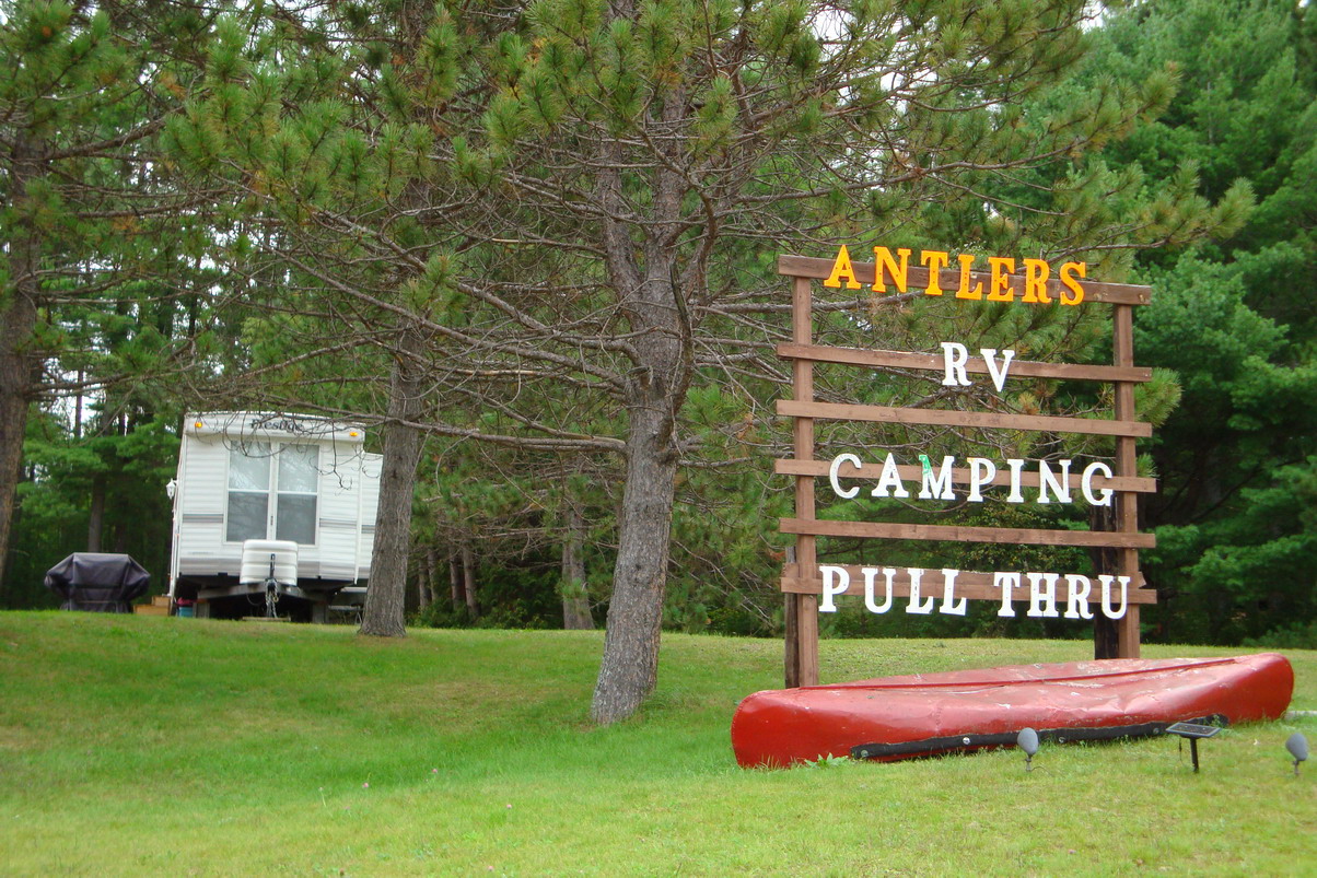
We had originally expected to paddle to at least Driftwood Park, but we now realized that it would make us paddle longer days than our little group wanted to do. But the endpoint of our trip was really flexible and so was the arrangement of the shuttle pick-up. So, the next morning we had two more nights to go, and so we decided that Deux Riviers would be a good finish for our trip. We did not know what to expect in this "village", and first checked out the Hill Top Camp that Kevin C has described in his book as the "lap of luxury" - tongue in cheek, as we discovered. There is little there of interest, and we had hoped for a store, associated with a camp ground - but a fellow I talked to directed us instead to the corner store beside the highway, a km downstream. We paddled on and got out there - only to discover it had closed its doors as well. But a friendly woman there offered us two garbage bags that we intended to waterproof a leaking dry bag. Thanks - Northern Hospitality is alive and well, even beside the TransCanada Highway! Just a bit further is Antlers Campground, well-run and in a nice
setting, not a bad place for anyone. Once we got into "puttering around" mode,
we figured we talk to some of the folks there and so we did. We ended up in their
waterside "pavilion", drinking coffee and enjoying a good talk. Did I mention
Northern Hospitality? OK, I did and this was another example. Eventually we moved on, with a bit more info on camp sites, and the
idea to paddle down river, camp for two night and then to return to Deux Rivieres for the
pick-up. Nice spots for lunching along the next few kms, but nothing suitable until we
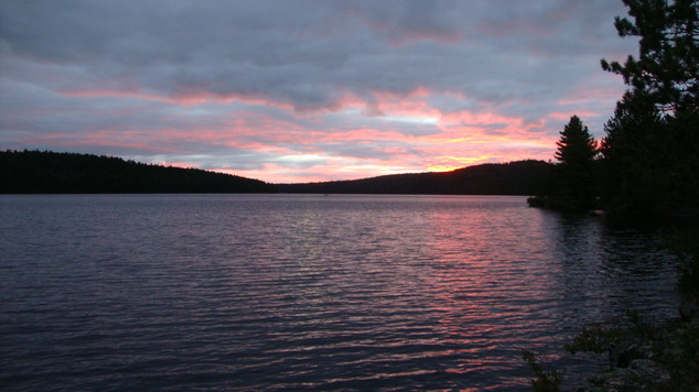
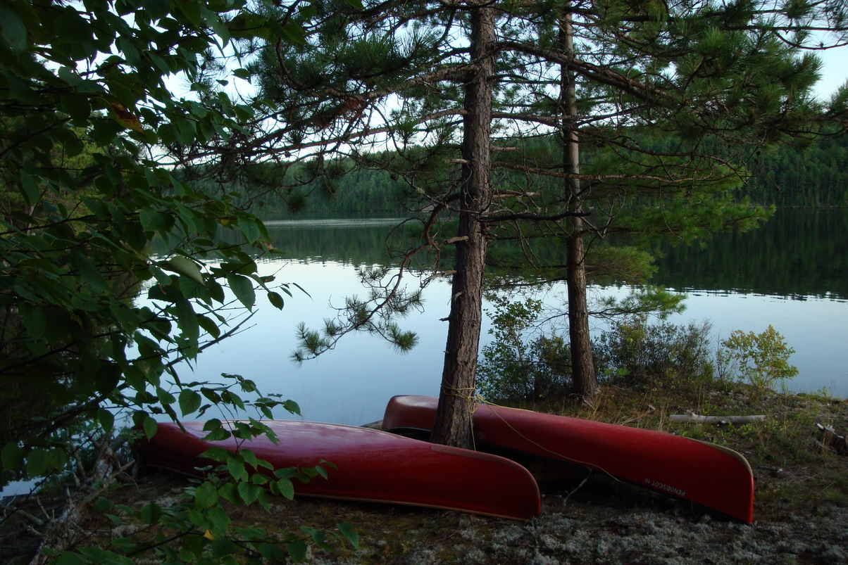
came to CAMP 5, al long sloping rock with two small spots high up. It was ideal for us:
picturesque, big enough and cozy, and a good place to put up the tarp for the kitchen.
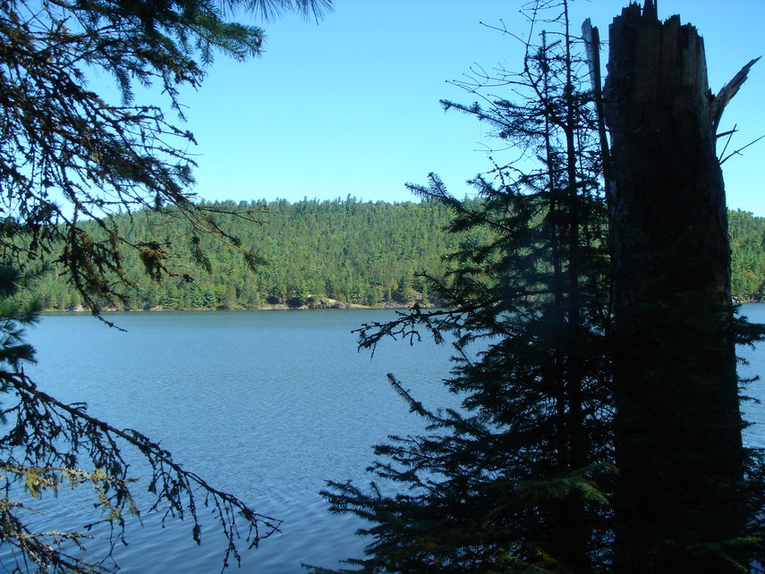
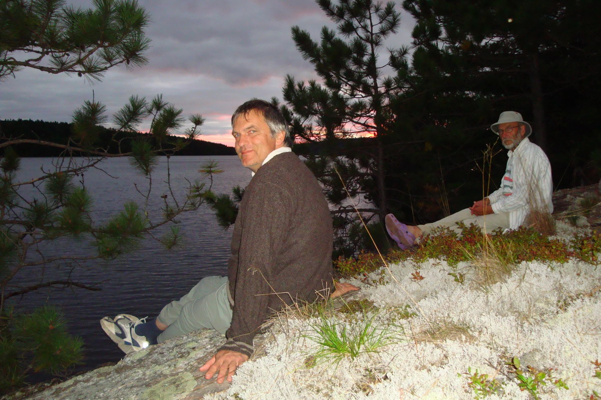
The next day, we stayed put. In the morning three of us paddled across the
river (a large lake, really) and explored the creek that tumbled noisily over the rocks,
while Peggy stayed behind to read. After lunch, Herbert and Dorothee took the canoe and
explore down-river on their own. They came back reporting another nice campsite on
river-left and confirming the beauty of the area. But the day was spent just enjoying
nature. It is that sort of heaven that keeps calling us back north every summer... The last day had us paddle back to Deux Rivieres, call the shuttle and just wait for them to arrive. Back at the outfitters, the cars were waiting faithfully to take us back to "civilization", but not before we had our trip celebration at Myrt's Diner. It had been a great trip!
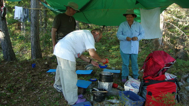
Pictures: by Peggy, Dorothee, Kailey, and Herbert Logistics and general travel hints:
|


Home Back to
Erhard's Home Page
Click here to get to Erhard's
Favorite Paddling Areas