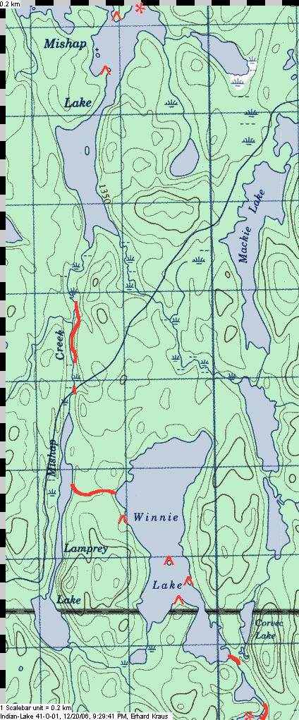
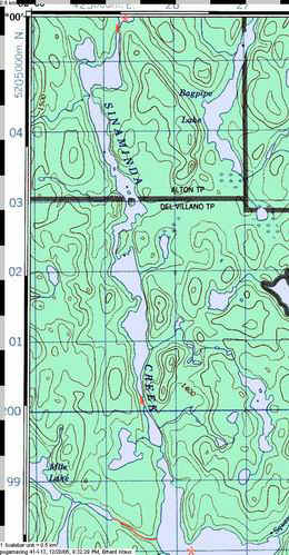
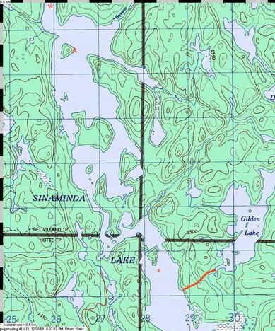
| After having explored south from Biscotasing, me
and my friends have always been wondering whether one could do a diagonal route that aims
south east instead. Mishap Creek goes pretty far that direction and then Sinaminda Creek
continues in the same way, with Alton Lake somewhere half-way down. It should end up in
Sinaminda Lake which is along the travelled route over to Pogamasing Lake towards the
Spanish River. Two scouting trips confirmed it: in July 2005 I soloed south from Bisco up
Mishap Creek and portaged over to the headwaters of Sinaminda Creek. The following year in
spring, Bob M joined and we started from Sinaminda Lake in the reverse direction and we
made it to where I had left off the year before. It's a viable route, off the beaten track
and not too difficult, it avoids big open lakes and gives you long stretches of
undisturbed nature. Portages do exist thanks to the continued maintenance of a snow mobile
trail, and some portages are a bit "weedy" but none of them is longer than
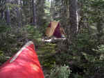
1000m. Camps sites are only sufficient for a small group of no more than two tents. It's
rough going at times and you should give yourself three to four days for this route.
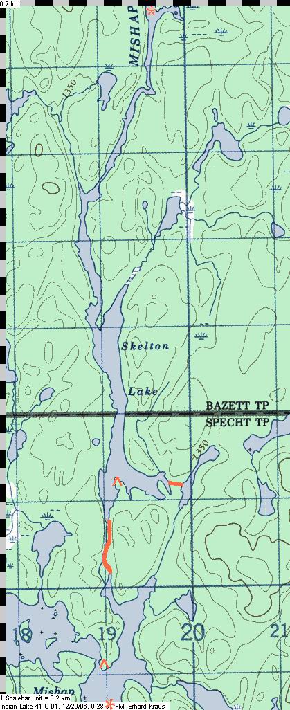
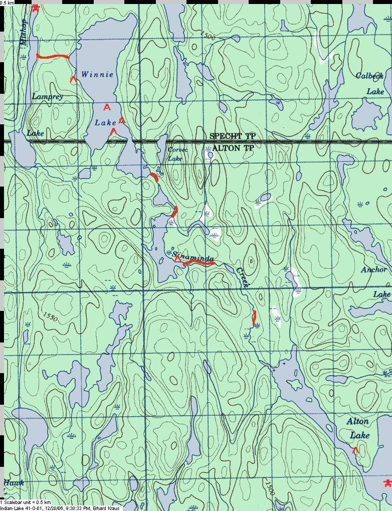
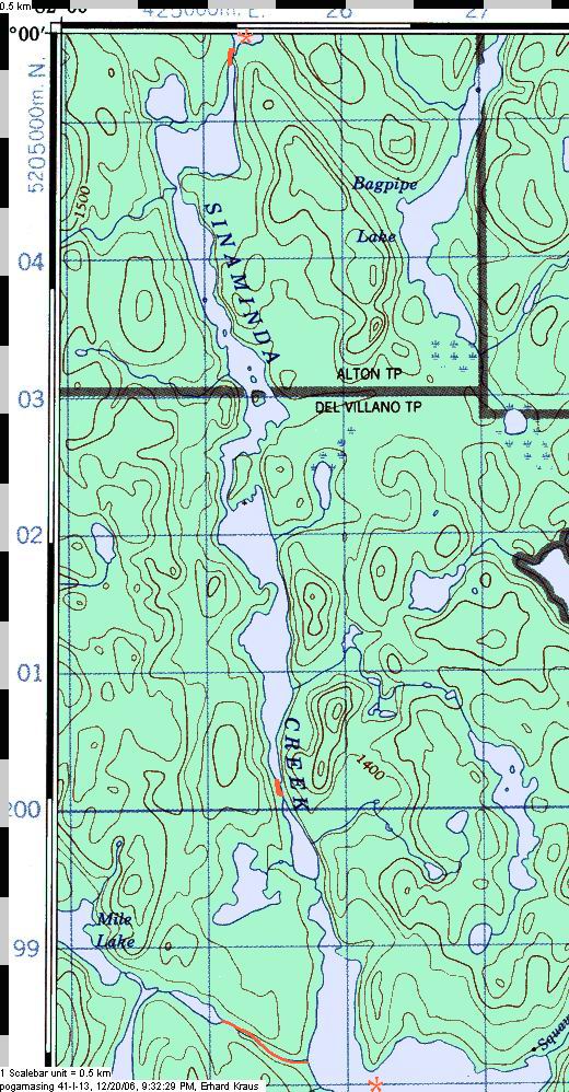
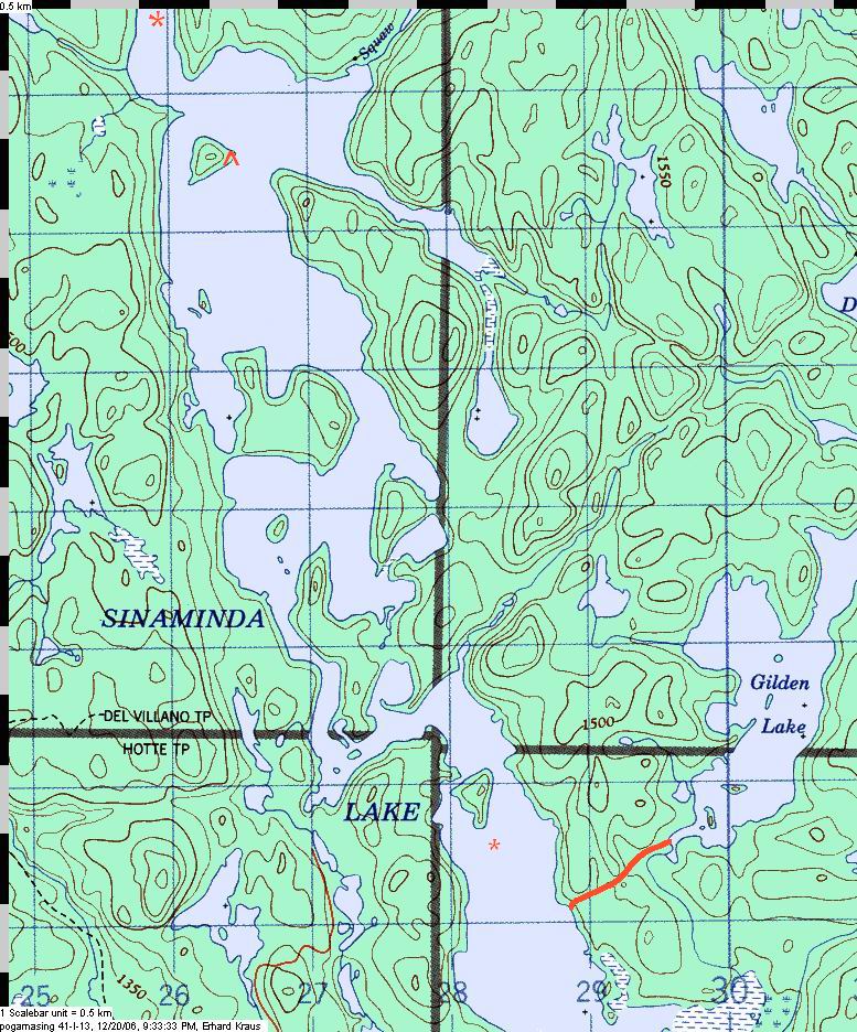
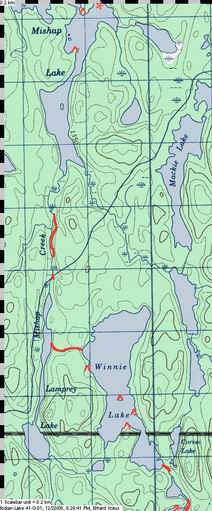
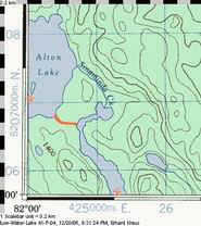
About the topo map extracts on this page and their linked
enlargements:
©Her Majesty the Queen in Right of Canada
Reproduced with the permission of Natural Resources Canada |
 You
can travel to Bisco by train - useful if you want to continue
down the Spanish River - or you might arrive by car in order to do a loop. I either case,
you would launch beside the General Store at the railway station. You
can travel to Bisco by train - useful if you want to continue
down the Spanish River - or you might arrive by car in order to do a loop. I either case,
you would launch beside the General Store at the railway station.The
first night might best be spent on Lake Biscotasi, anywhere north of the town and within
5kms of the put-in. This will avoid running into a dearth of good camp sites within the
next 15kms as you head south on the Hogsback Channel. Biscotasi Lake is a park and soon
(2007 or 2008) you will need a permit if you decide to camp there.
Houghton Lake has cottages and the visible train tracks leave no doubt
that you are still amongst people and their meddling ways. |
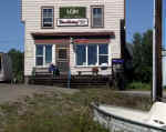 |
The store in Biscotasing, at the start. |
|
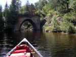
Passing underneath the train tracks on the way to Houghton Lake. |
 |

|
 So,
Houghton Lake is still close to civilization, but there are some interesting islands where
you cross from Lillie into BazettTownship: huge gray hog backs... So,
Houghton Lake is still close to civilization, but there are some interesting islands where
you cross from Lillie into BazettTownship: huge gray hog backs...Further
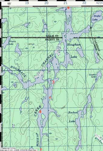
along, you could enter the Hogsback Channel and switch over to Indian Lake - the best
portage is via a small lake near the "H" of the Hogsback on the map on the
right.
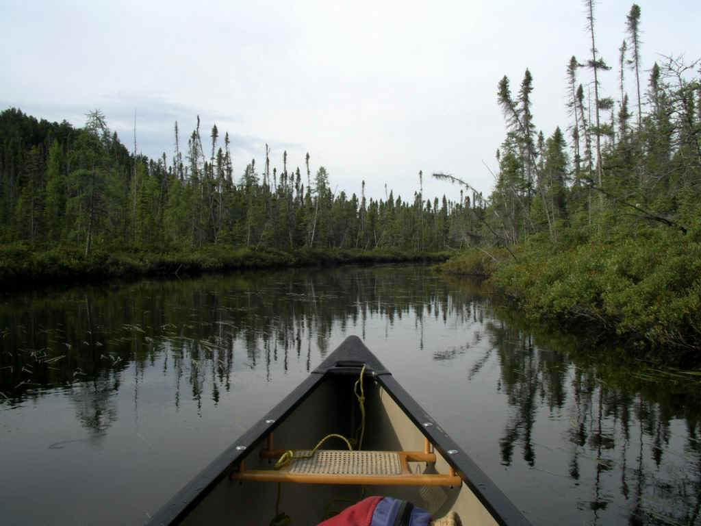
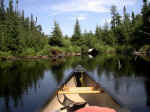
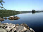
As you paddle further south you are travelling on the lake that is labeled Mishap
Creek, you might stick to the east shore and run into a dead end of bulrushes.
Just switch to the western shore instead, where I put "4" on the map.
Then the river narrows and you glide closely along forested shores.... |
|
| Move to the right shore to avoid the bulrush thicket. |
 |
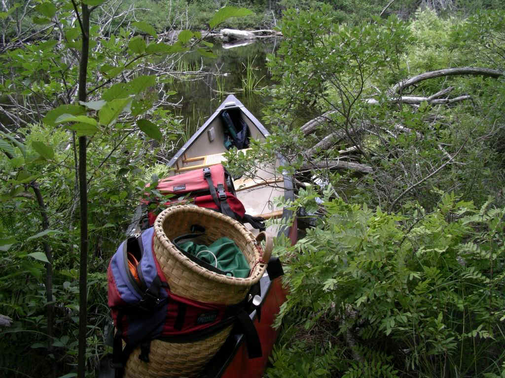
|
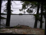
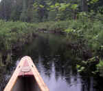
The Narrows on the way to Skelton L (the pack and map in front of the
seat). |
 |
|
|
 |
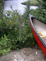
Camping is sometimes on marginal sites, like this one on Houghton Lake. |
|
|
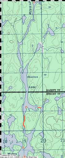 ......
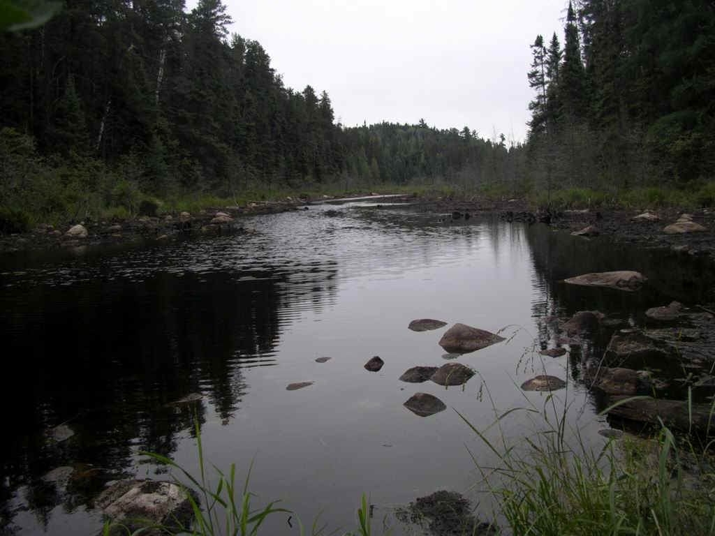
until you reach Skelton Lake. ......
until you reach Skelton Lake. There's nothing interesting
about this lake except a portage out of the east bay. It promises a potential trip towards
the Sinker Creek and thus access to the middle of the Spanish River's West Branch. Let me
know if you can confirm this - maybe you have travelled it already....
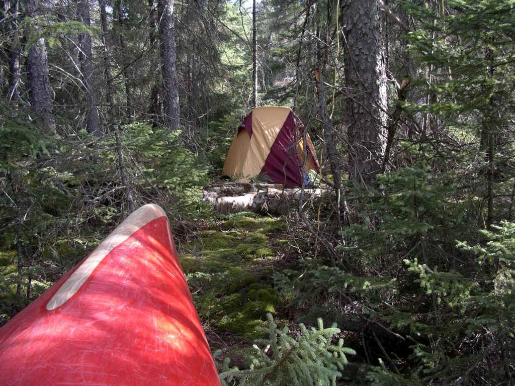
There is a camp site on a point off the southern shore. To leave the lake
on your way south, you take the portage at the end of the southern bay. You may be able to
put in the water along some of its 800m length if you hate long carries. That will get you
into Mishap Lake which has two camp sites.
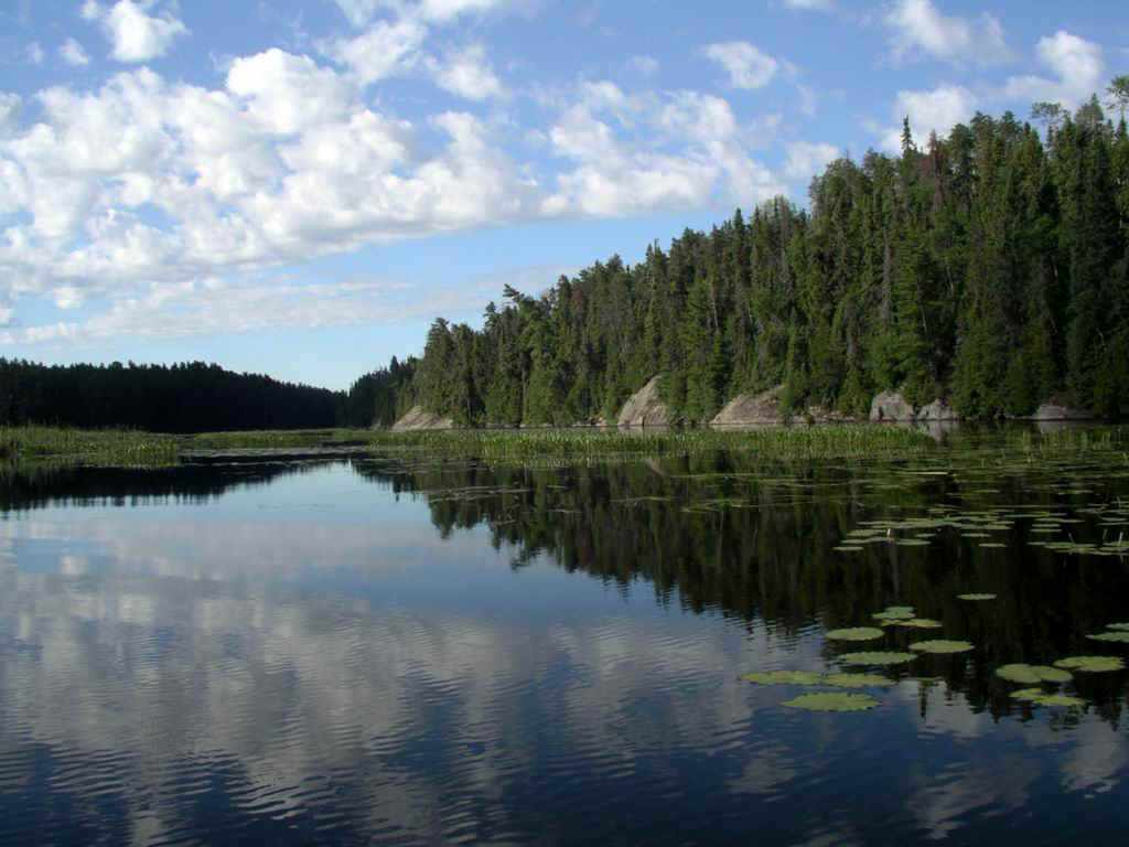
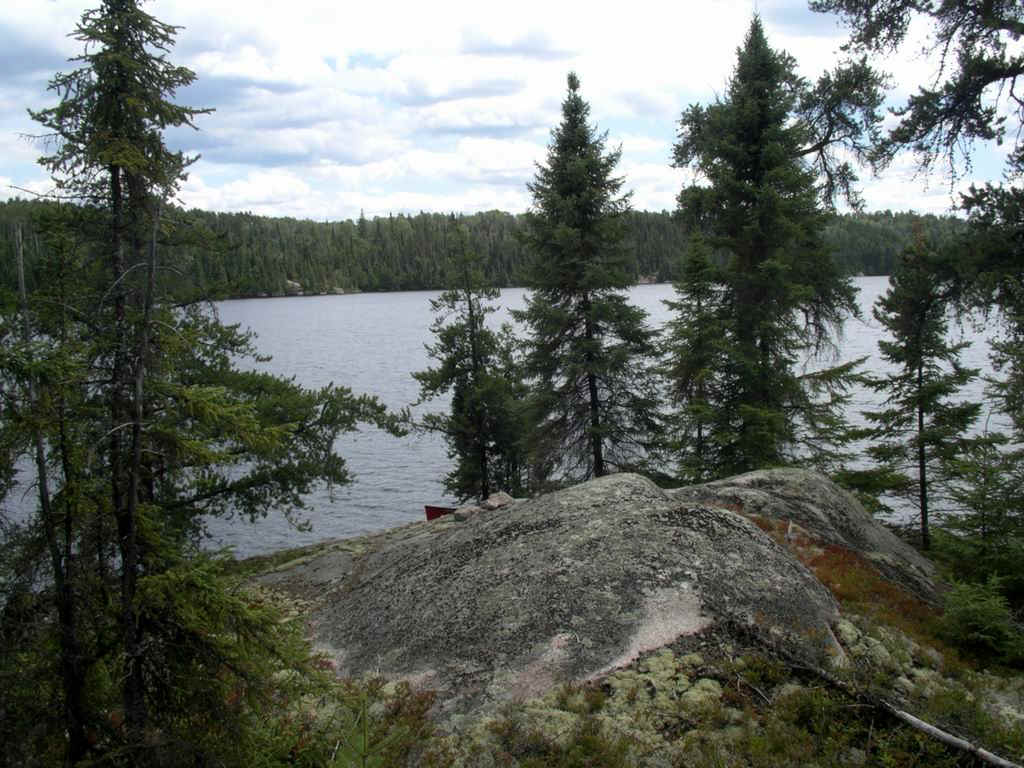
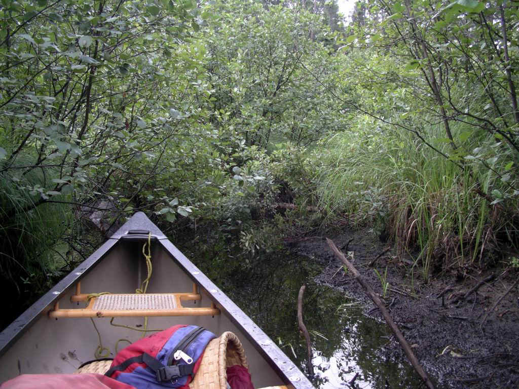
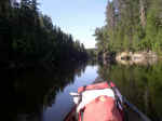
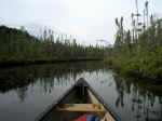
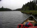
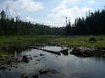
You continue out of the southern end and up Mishap Creek - a beautiful
example of a northern river with spruce and bog on both sides. Mishap Creek gets narrower
until there is not enough width to let a prospector canoe through and there it's time to
portage again. |
|
|
 Paddle
as far as you can. The old portage seems to have been on the west shore but it is
overgrown by now and hard to work through. An easier choice is the path on the east shore
that has been cleared by snowmobiles. It will take you back into the lazy waters of the
creek. A short paddle will bring you to where the Metagama logging road
crosses. That road is a major artery for logging traffic from the clear cuts further away
and it allows the creek to flow beneath it via two large culverts. You have to heave your
gear up the steep gravel embankment, move it to the other side of the road, and then let
it slide down into the water on the other side. The large wire cages that have been
installed to prevent the beaver from blocking the water flow are quite a sight. You are
now in Lamprey Lake. Paddle
as far as you can. The old portage seems to have been on the west shore but it is
overgrown by now and hard to work through. An easier choice is the path on the east shore
that has been cleared by snowmobiles. It will take you back into the lazy waters of the
creek. A short paddle will bring you to where the Metagama logging road
crosses. That road is a major artery for logging traffic from the clear cuts further away
and it allows the creek to flow beneath it via two large culverts. You have to heave your
gear up the steep gravel embankment, move it to the other side of the road, and then let
it slide down into the water on the other side. The large wire cages that have been
installed to prevent the beaver from blocking the water flow are quite a sight. You are
now in Lamprey Lake.It is a boggy little lake and the road just beyond
the western shore makes it not attractive to stay.
But this lake is the hub between two routes: you could move away from
our route to the west into Indian Lake (ask me about the location of the portage that
leads from Lamprey into the large Metagama Bay). Or you could proceed along as we planned
and look for the portage into Winnie Lake.
It is now used as a snowmobile trail that starts in about the centre of of Lamprey,
behind some floating peat barrier but the landing is clear.... |
|
|
Mishap Creek south of Mishap L, a typical northern river |
 |
|
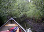
| The creek narrows to a trickle and the portage starts |
 |
|
Approaching Lamprey Lake, still before the Metagama Rd crossing |
 |
 |
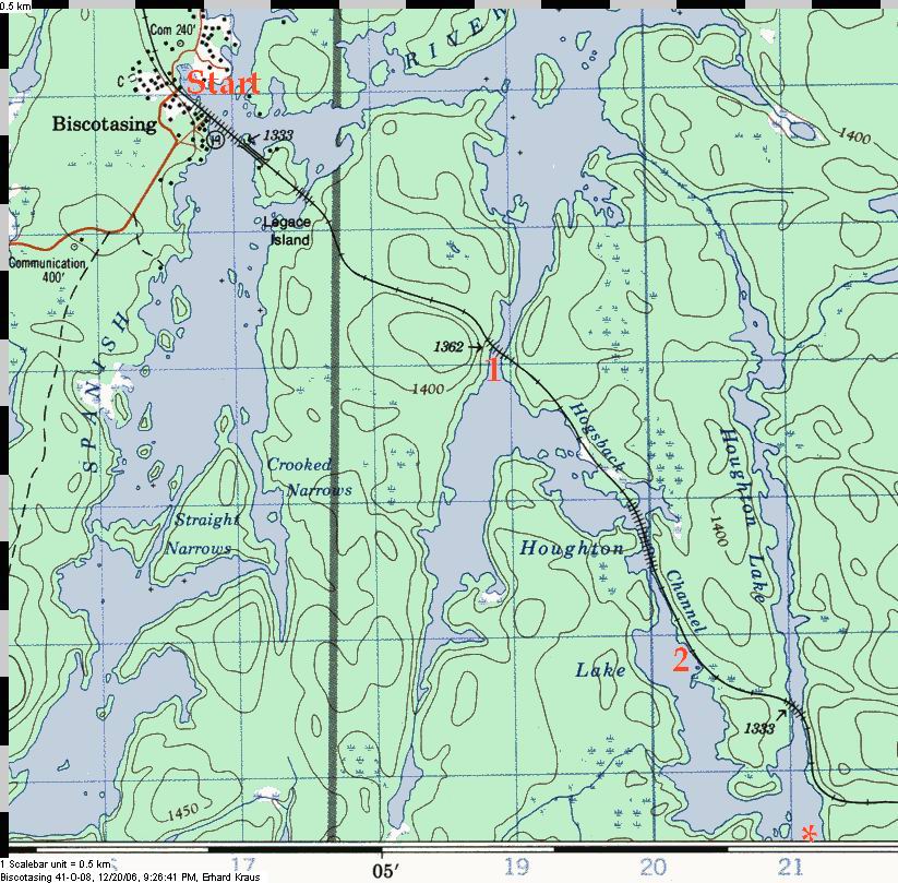
Here the road crosses the creek - note the two culverts.... |
Up on the road after some heavy grunting, and now the canoe is up on the
road, ready to slide down the other side |
 |
|
|
|
|
Finally, in Lamprey Lake |
 |
|
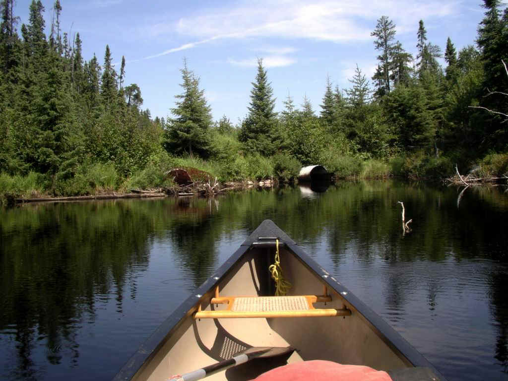
 ...Just
look for the opening in the bush, a typical start of a snowmobile trail. The portage is
only about 400m long and there are no difficult grades. ...Just
look for the opening in the bush, a typical start of a snowmobile trail. The portage is
only about 400m long and there are no difficult grades.Winnie Lake is the head waters
for the Sinaminda Creek and its water flows to the south. It is wonderfully clear and
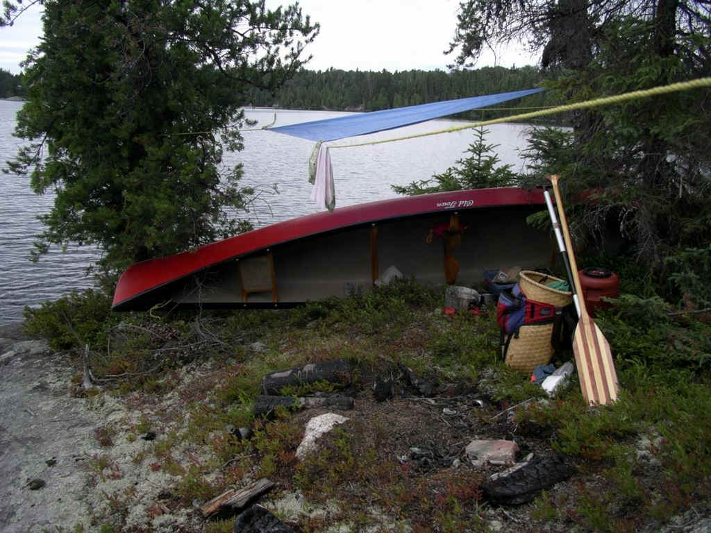
there are a handful of camps sites - all small and even marginal, but scenic. It's a nice
lake to stay on.
To leave Winnie following the creek, you have to portage along the east shore, then a
quick paddle across a pond and then again take a portage on the east shore. The next lake
has no camp sites but one could pitch a tent on the eastern shore at the southern end.
The outflow is a shallow trickle. There used to be a beaver pond but the beavers are
gone and the canoe will not float. You have to portage along the wet area on the east
shore for not quite one km and then put into the creek again. Another portage on the same
side bypasses a rocky area and you are again using the trail maintained by the
snowmobilers. It's another 1km to paddle and then you are in Alton Lake. |
|
|
|
On Lamprey Lake - the start of the portage to Winnie Lake |
 |
 |
View from the camp site on Winnie Lake |
 |
|
|
|
|
|
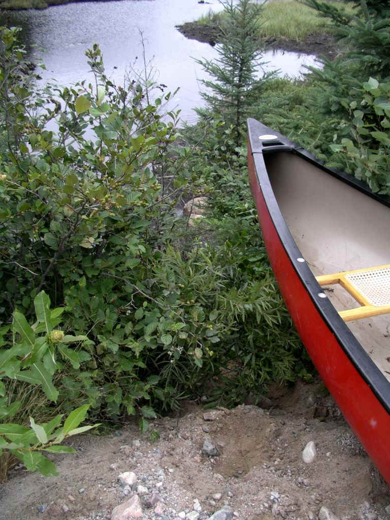
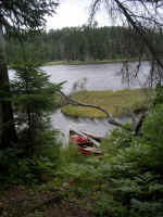
Two lakes after Winnie, a pitiful sight: the beaver is no more and for
about 800m the creek has no depth |
 |
|
| This was the end of the trip in August 2005 -
not enough water on Sinaminda Cree, just 4km north of Alton Lake. 
The following year in June, Bob M came along and we completed the survey of
the route. Even though we travelled the opposite direction, the description continues in
its original direction, from north to south. |
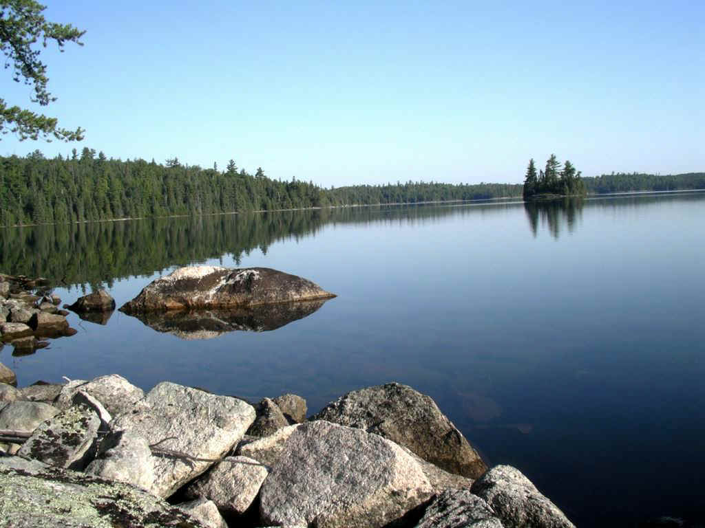
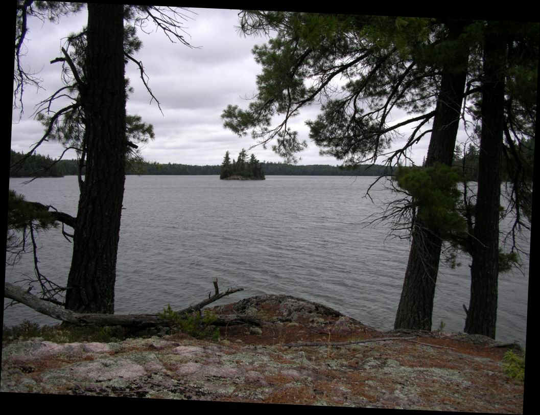
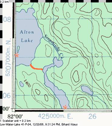
 Alton
Lake is disappointing as it has nothing interesting - at least that's how appeared to us.
We camped at a small site on the eastern shore of the panhandle near the main body of the
lake. Alton
Lake is disappointing as it has nothing interesting - at least that's how appeared to us.
We camped at a small site on the eastern shore of the panhandle near the main body of the
lake.To leave the lake, do not follow the creek. Instead, find the landing at the south
shore and follow the well-defined trail through a boggy forest until you are at the water
again. Paddle south for 1.5km and take the short portage on the west shore. |
| Bob paddling the panhandle of Alton Lake |
 |
|
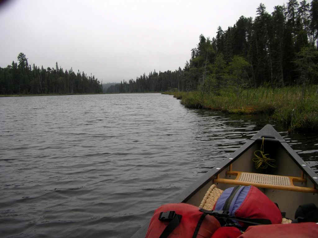
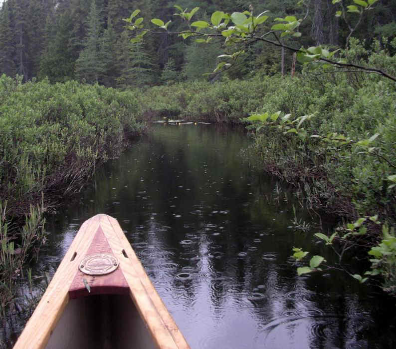
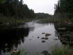
The canoe pushes along a narrow
section of Sinaminda Creek, north of Alton Lake. |
 |
|
 You
are still in Sinaminda Creek but the appearance is that of a narrow lake with a few
narrows. A paddle of about 6km and there's a last portage before you paddle in the waters
of Sinaminda Lake. You
are still in Sinaminda Creek but the appearance is that of a narrow lake with a few
narrows. A paddle of about 6km and there's a last portage before you paddle in the waters
of Sinaminda Lake. In its northern Bay, on the west shore, there is the start of a
maintained portage into Mile Lake - something you could explore if you have time on your
hands.
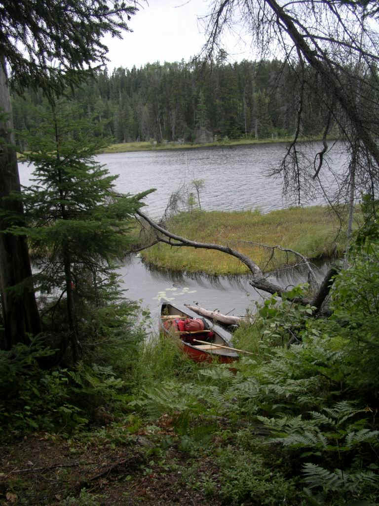
There's a good campsite in the north end of Sinaminda Lake, on the triangular island,
facing east.
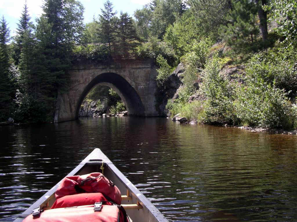
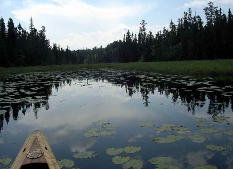
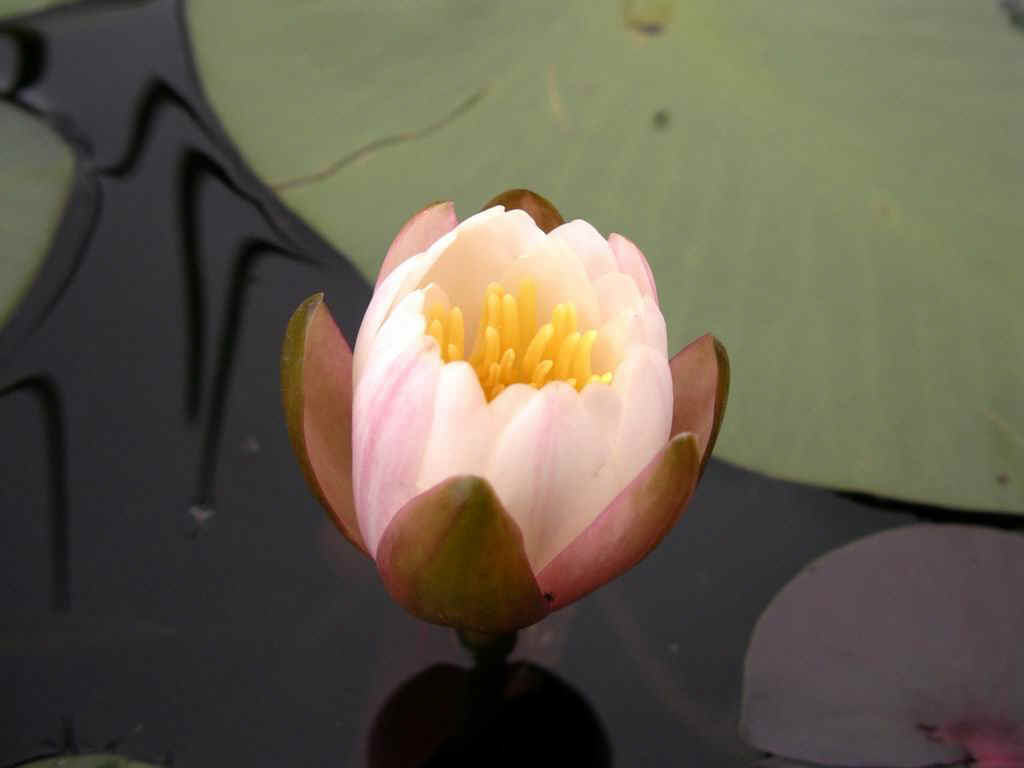
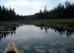
Lily pads on Sinaminda Creek |
|

|
The beauty of the water lily |
|
|
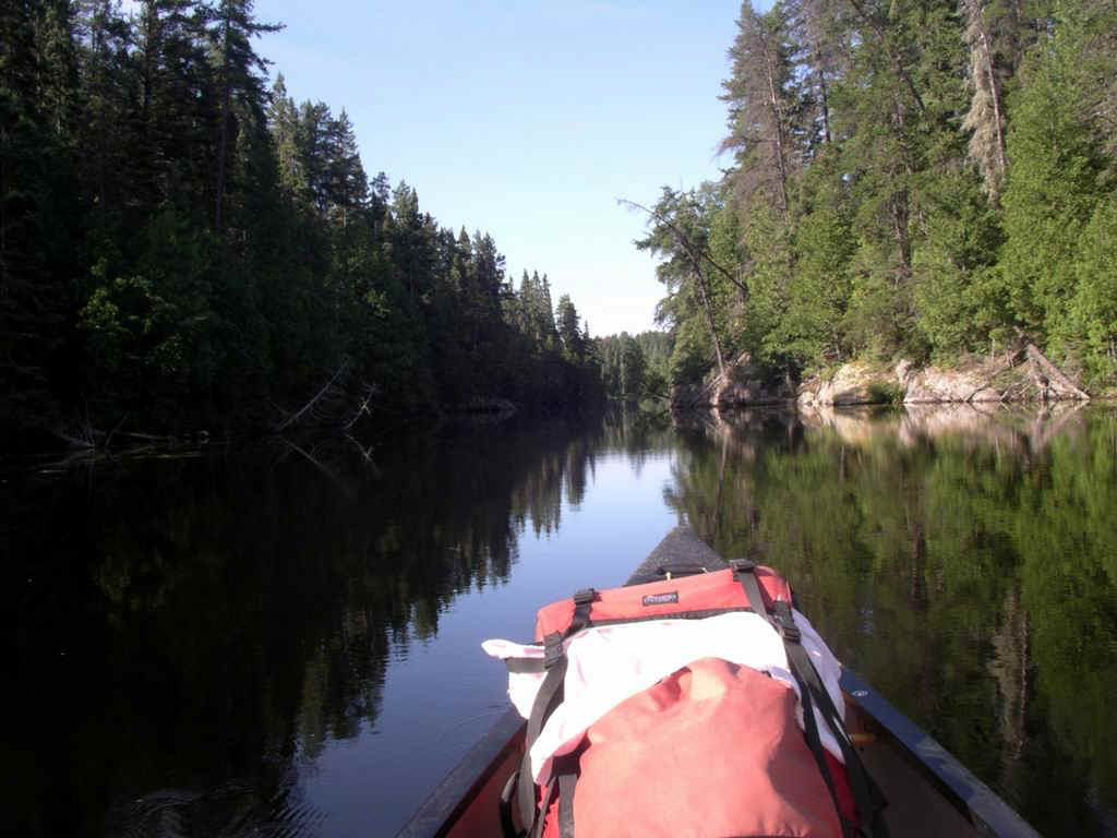
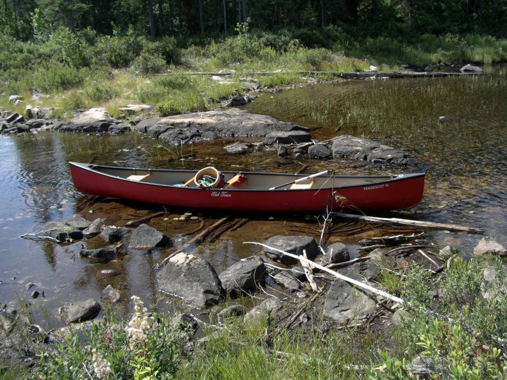
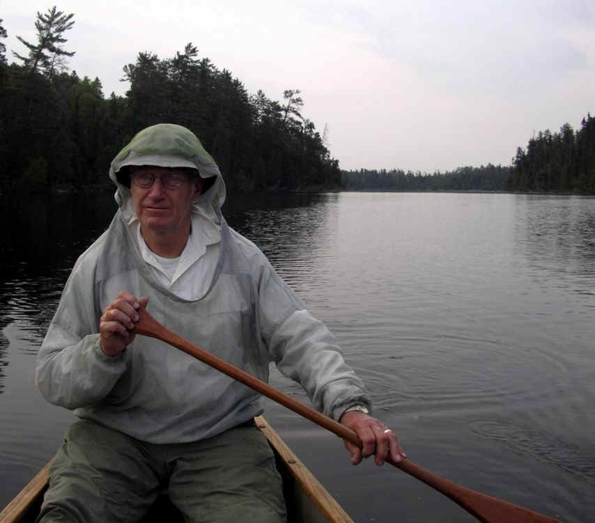
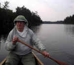
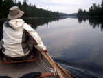
| Bow paddler somewhere along the route |
 |
In strong wind, Sinaminda Lake typically does not build up big waves like Mozhabong or
Indian Lake, but the narrows will act as powerful funnels and you will fight the wind
should you be paddling into it.
|